


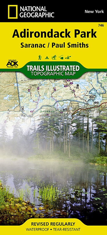
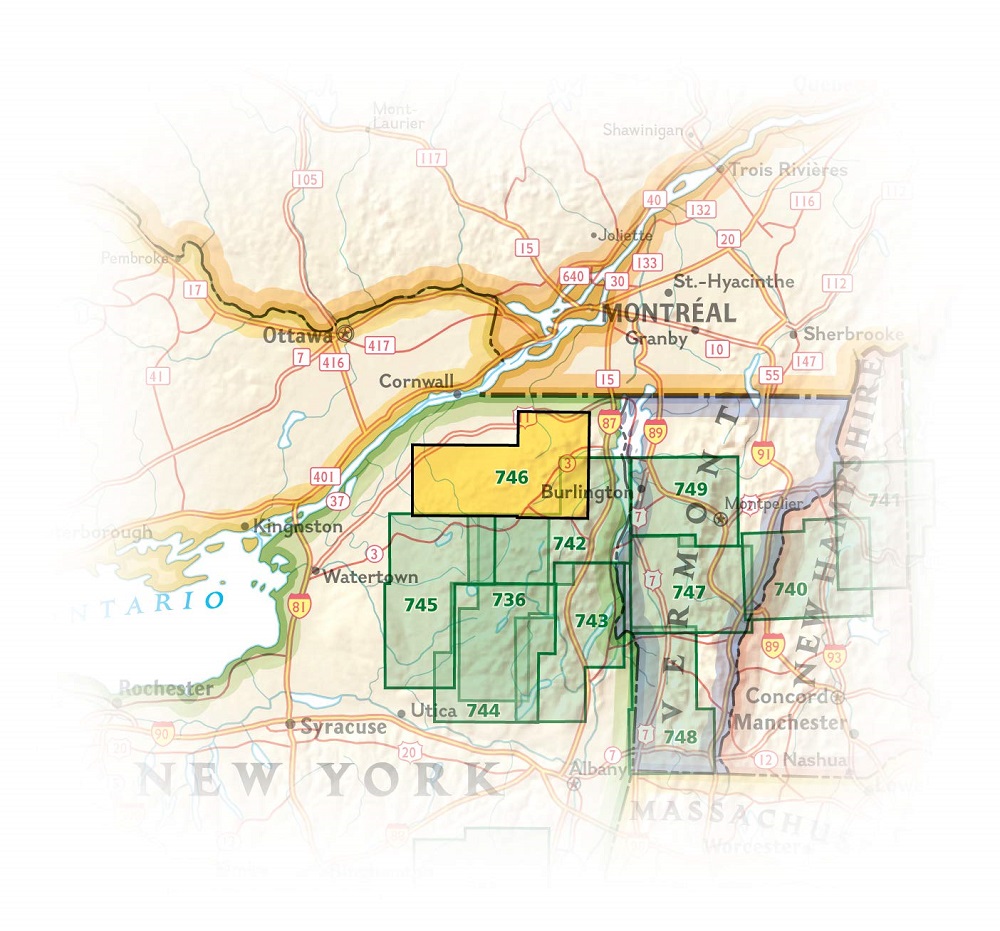
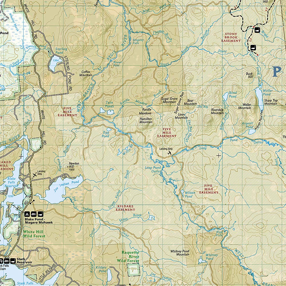
Explore the beauty and serenity of the Saranac Lakes region of the Adirondacks with National Geographic's Trails Illustrated map of Adirondack Park, Saranac / Paul Smiths. Created in partnership with local land management agencies including the Adirondack Mountain Club, this expertly researched map combines unmatched detail with useful information to help you get the most from your visit. Key areas of interest featured on this map include Saranac Lakes, Carry Falls Reservoir, Racquette River, Lake Placid, St. Regis Canoe Area, and Debar Mountain Wild Forest.
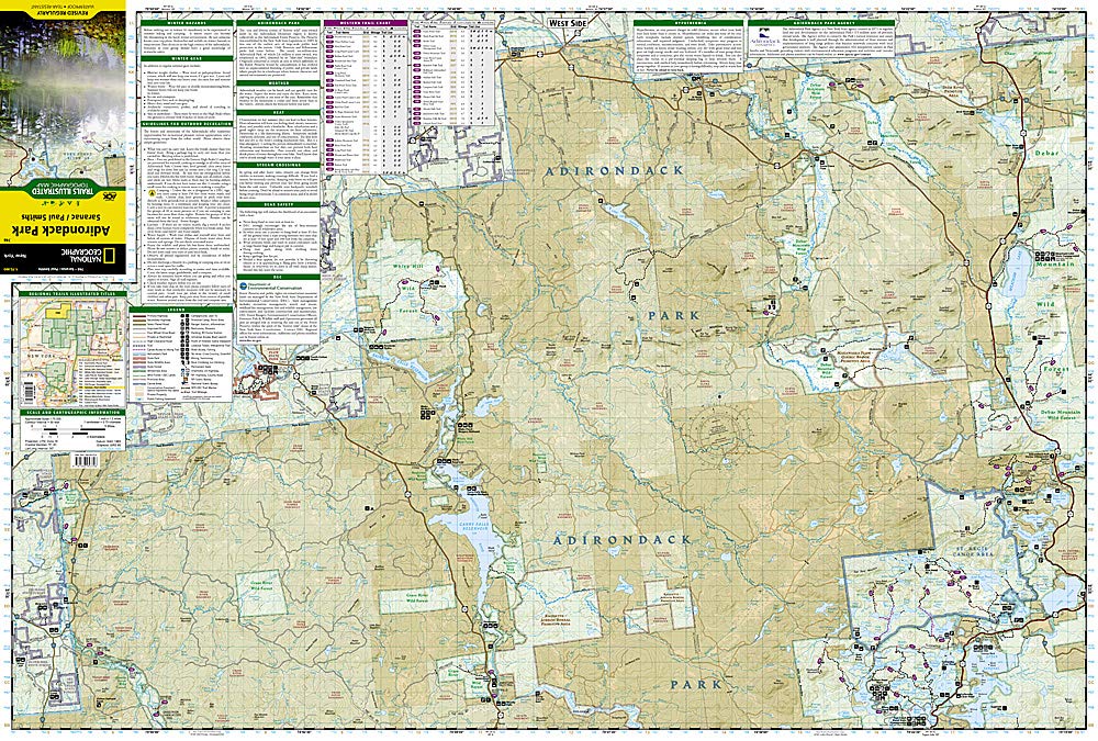
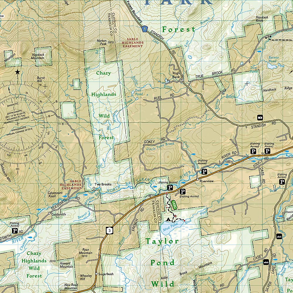
An extensive trail chart will help you choose a trail that's right for your activity level and recreation use whether you're hiking, horseback riding, biking, snowshoeing, cross country skiing, or snowmobiling. Trails are clearly marked and include mileage between intersections. The map base includes contour lines and elevations for summits, passes and major lakes. Recreation features are clearly marked, including campgrounds, fishing and canoe access, ski areas, scenic viewpoints, and more. A variety of helpful safety information is included as well.
Every Trails Illustrated map is printed on "Backcountry Tough" waterproof, tear-resistant paper. A full UTM grid is printed on the map to aid with GPS navigation.
Other features found on this map include: Carry Falls Reservoir, Lake Placid, Loon Lake Mountains, Lower Saranac Lake, Lyon Mountain, Sable Mountains, Sentinel Range, Whiteface Mountain
Primary language: English
Double face