


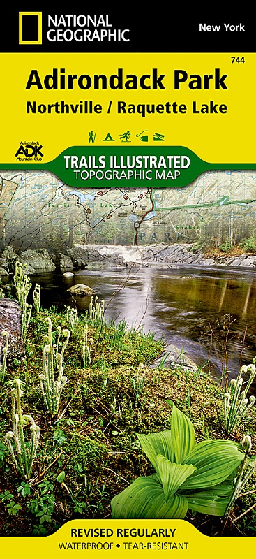
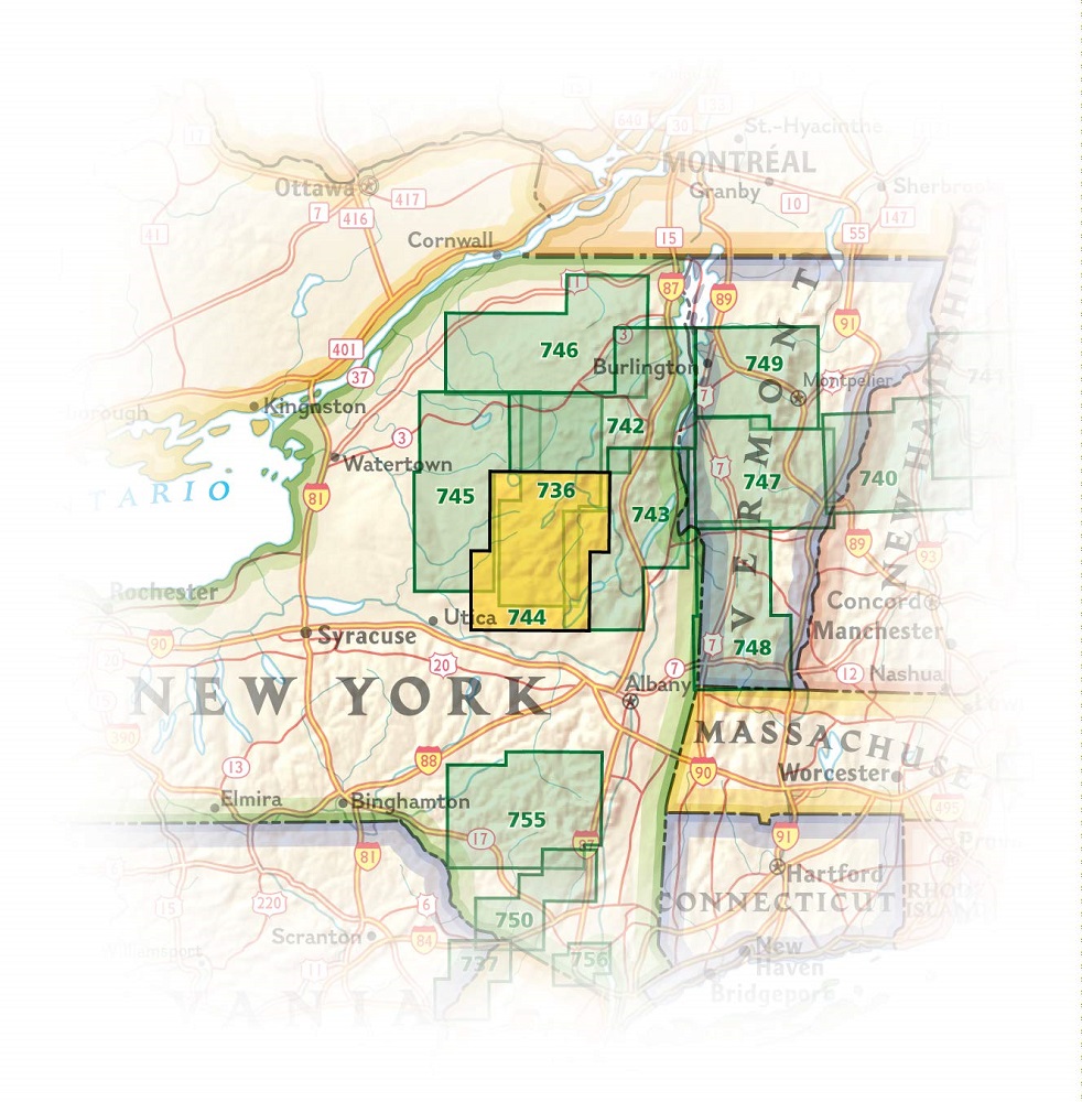
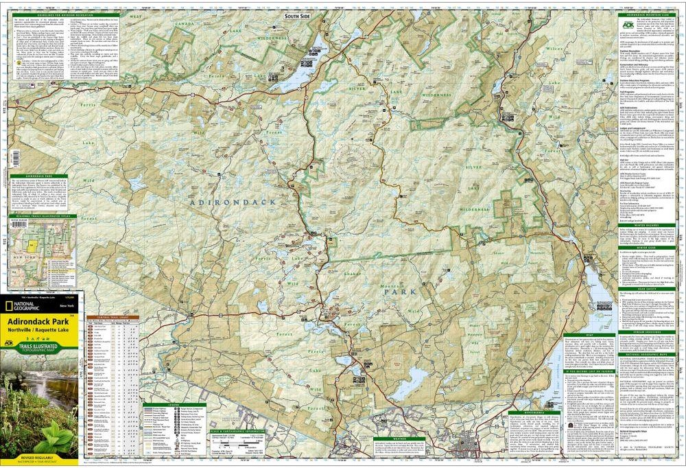
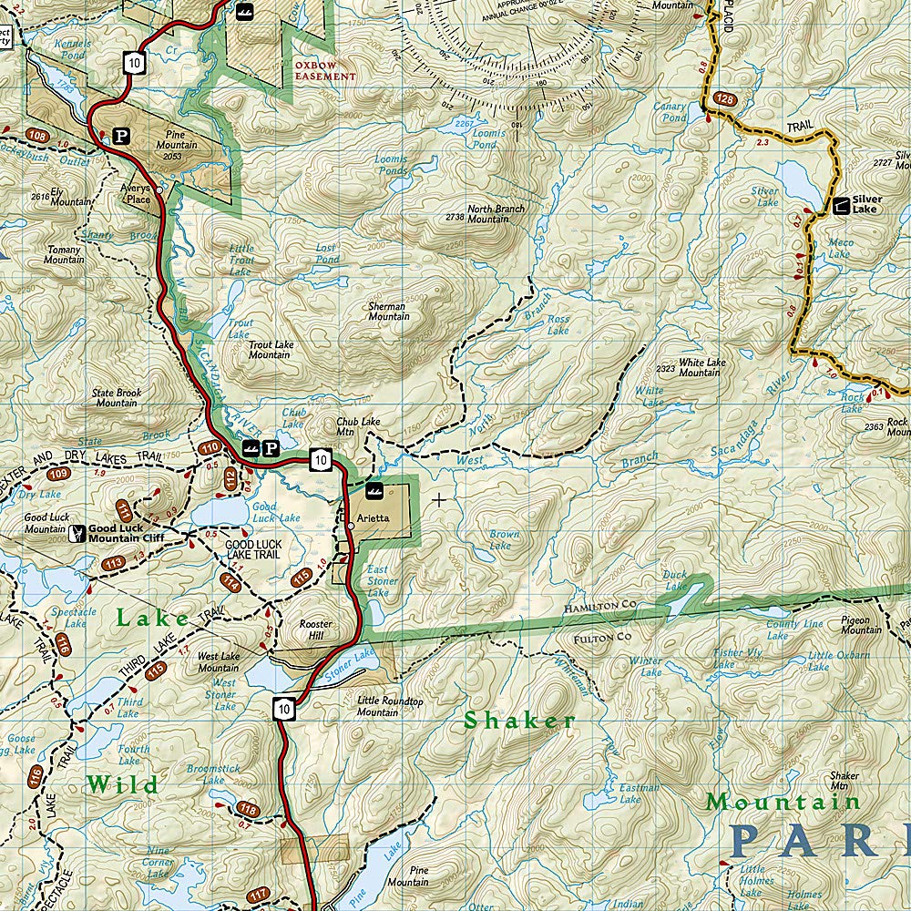
National Geographic's Trails Illustrated map of Adirondack Park, Northville / Raquette Lake is designed to meet the needs of outdoor enthusiasts by combining valuable information with unmatched detail of this distinct portion of the park. Created in partnership with local land management agencies, this expertly researched map features a variety of recreation areas including Raquette, Caroga, Indian, Blue Mountain, and Piseco lakes. Some of the wilderness areas included are Silver Lake, Siamese Ponds, and Little Moose; and Ferris Lake, Shaker Mountain, and Moose River Plains are among the wild forests covered.
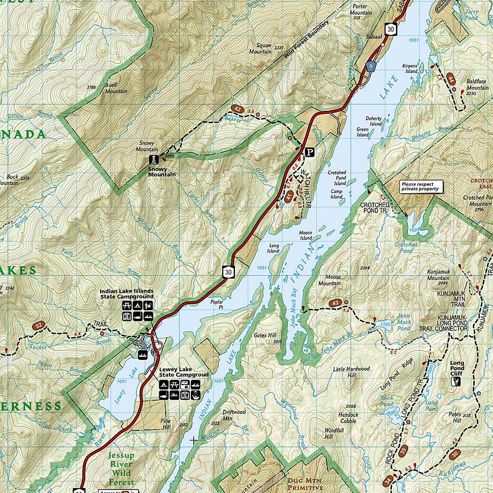
With miles of clearly marked trails that include mileages between intersections, this map will prove invaluable in your exploration of the region. The Central Trail Chart will help you choose a trail that's right for your activity level and recreation use whether you're hiking, horseback riding, biking, snowshoeing, cross country skiing, or snowmobiling. Recreation features are clearly marked, including campgrounds, climbing areas, fishing access, swimming areas, marinas, and ski areas. The map base includes contour lines and elevations for summits, passes and many lakes.
Every Trails Illustrated map is printed on "Backcountry Tough" waterproof, tear-resistant paper. A full UTM grid is printed on the map to aid with GPS navigation.
Other features found on this map include: Baldhead Mountain, Blue Mountain, Gloversville, Indian Lake, Panther Mountain, Piseco Lake.