en
wishlist
login
mail

contact us

Cartography

Hiking maps, maps and atlases, cartography around the world. Maps of the trails, cartography for cyclotourism and mountain biking

Mountain

Alpine guides, hiking guides, technical manuals for summer and winter mountaineering. Mountain literature and filmography

Sea

Nautical manuals, nautical cartography, books and literature for sailboat and motor

Travels

Travel guides and travel literature for Italy, Europe and the rest of the world

Military

Collection of the best publications (books and DVDs) on the mountain war on the Alps and the rest of Italy and Europe
back
Inghilterra sud-orientale, Londra. Carta stradale 1:300.000
Kummerly & Frey | carte stradali e atlanti | Svizzera | 2025 | 13 x 25 | 1:300.000

Inghilterra sud-orientale, Londra. Carta stradale 1:300.000

England South-East, London

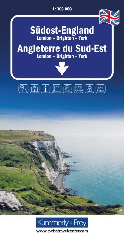
Le mappe stradali blu di Kümmerly+Frey sono compagne di viaggio molto apprezzate: per pianificare, durante il viaggio e una volta arrivati. Un'immagine chiara e una cartografia precisa sono le caratteristiche distintive, a volte chiamate "blues". La serie comprende oltre 100 mappe stradali e di viaggio aggiornate. Tutte le mappe stradali hanno una caratteristica in comune: la massima qualità svizzera. Utilizzare una mappa blu di Kümmerly+Frey vi aprirà orizzonti di viaggio completamente nuovi, rimarrete sorpresi.

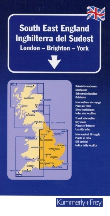
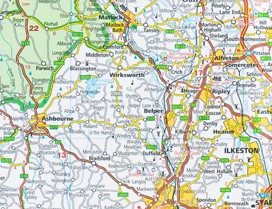
Optimum orientation - what you need are our regional maps. The Kümmerly+Frey regional maps will make you feel at home even when you're on holiday. Your will always know where you are and how far it is to the next tourist attraction. The regional maps are licensed editions published by well-known cartographical publishing houses. 

add to wish list
€ 15.00
quantity
- 1 +
ship to :: Italia
Corriere espresso € 6.00
availability
usually shipped within 15/30 days
add to cart