


contact us
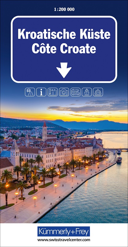
Croatian coast on an indexed road map with small plans of central Pula, Rijeka, Zadar, Split and Dubrovnik from the Swiss cartographic group Hallwag Kümmerly + Frey.
Coverage, presented in two panels, extends from Trieste and Ljubljana to the border with Montenegro.
The base map has subtle relief shading, names of mountain ranges in the hinterland and spot heights. Boundaries of national parks and other protected areas are indicated. Road network includes selected country tracks and gives locations of petrol stations and driving distances on main routes. Railway lines are shown with stations. Ferry routes and marinas or anchorage are marked.
Places of interest, including campsites, viewpoints, archaeological sites, churches and monasteries, etc., are highlighted. The map has latitude and longitude grid at intervals of 15’.
The index is in a separate booklet attached to the map cover. Map legend includes English.
Also included are plans of central Pula, Rijeka, Zadar and Split, plus the historic centre of Dubrovnik, annotated with places of interest.