en
wishlist
login
mail

contact us

Cartography

Hiking maps, maps and atlases, cartography around the world. Maps of the trails, cartography for cyclotourism and mountain biking

Mountain

Alpine guides, hiking guides, technical manuals for summer and winter mountaineering. Mountain literature and filmography

Sea

Nautical manuals, nautical cartography, books and literature for sailboat and motor

Travels

Travel guides and travel literature for Italy, Europe and the rest of the world

Military

Collection of the best publications (books and DVDs) on the mountain war on the Alps and the rest of Italy and Europe
back
-5%
Atlante stradale Gran Bretagna e Irlanda 2025
Michelin | Atlanti stradali | Francia | 06/2023 | pages 192 | 23 x 29 | 1:300.000

Atlante stradale Gran Bretagna e Irlanda 2025

Atlanti stradali e turistici MICHELIN: la garanzia della cartografia Michelin! 1:300.000

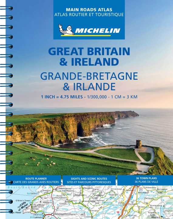
Affidabile e pratico, l'atlante della Gran Bretagna e dell'Irlanda in scala 1/300.000 (1 cm = 3 km) ti accompagna in tutti i tuoi viaggi. Troverai tutte le informazioni essenziali per i tuoi viaggi: mappa delle strade principali, indice completo delle località, avvisi di sicurezza Michelin (pendenze ripide, percorsi pericolosi, ecc.) e mappe di 52 città. Scoprite anche la selezione Michelin degli itinerari più pittoreschi per uscire dai sentieri battuti e più di 25 pittogrammi per scoprire i siti turistici.

Primary language: French


add to wish list
€ 21.38
instead of € 22.50
quantity
- 1 +
ship to :: Italia
Corriere espresso € 6.00
availability
usually shipped within 15/30 days
add to cart