en
wishlist
login
mail

contact us

Cartography

Hiking maps, maps and atlases, cartography around the world. Maps of the trails, cartography for cyclotourism and mountain biking

Mountain

Alpine guides, hiking guides, technical manuals for summer and winter mountaineering. Mountain literature and filmography

Sea

Nautical manuals, nautical cartography, books and literature for sailboat and motor

Travels

Travel guides and travel literature for Italy, Europe and the rest of the world

Military

Collection of the best publications (books and DVDs) on the mountain war on the Alps and the rest of Italy and Europe
back
Alpine roads - Alpenstrassen - Routes alpines
Kummerly & Frey | carte stradali e atlanti | Svizzera | 13 x 25 | 1:750.000

Alpine roads - Alpenstrassen - Routes alpines

1:750.000

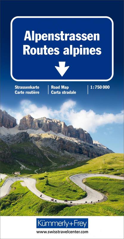
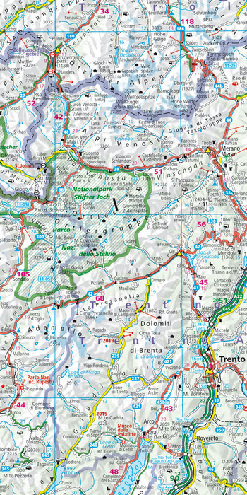
This map is useful for picking out the national parks, which are shown fairly clearly. Motorways are clearly depicted, but the other main roads are not differentiated much from each other and the names of major cities are not emphasised enough, giving the map a rather cluttered appearance. However, scenic routes are shown, as are railways, and places of interest are highlighted. Intermadiate driving distances are marked and main railways are included in the map detail. The area covered extends from Dijon and Marseille in the west to Vienna and Zagreb in the east. Latitude & longitude lines are drawn at 1° intervals. 
The map also includes simplified plans of major cities and the index booklet includes a driving distance table.


add to wish list
€ 13.50
quantity
- 1 +
ship to :: Italia
Corriere espresso € 6.00
availability
usually shipped within 15/30 days
add to cart