


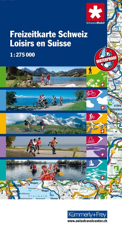
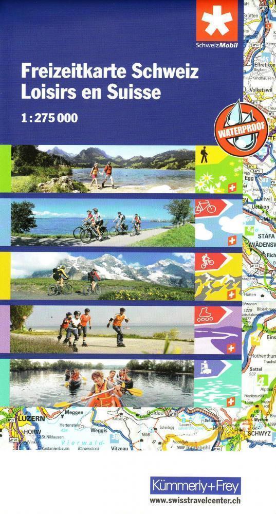
Activity Map of Switzerland from Kümmerly + Frey on light, waterproof and tear-resistant plastic paper, highlighting national and regional long-distance hiking, cycling, mountain biking, roller skating and canoeing routes, plus rafting sites.
The map provides essential information for anyone planning an outdoor leisure holiday in Switzerland, with its extensive overprint distinguishing between the national and the regional routes, all shown with their official numbers.
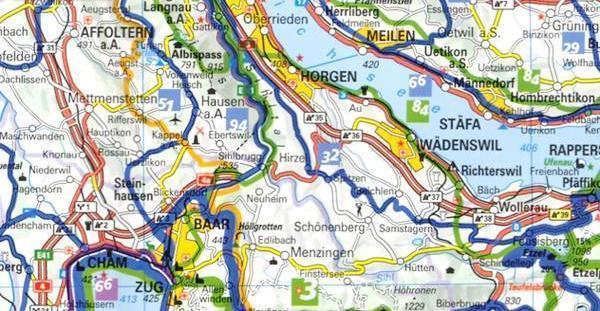
The publishers’ road map of the country used as a base has relief shading to show the topography, with plenty of names of mountain ranges, peaks, glaciers, valleys, etc. The map has latitude and longitude lines drawn at 10’ and 15’ respectively. Map legend includes English.
On the reverse is an index showing all the localities with postcodes, plus a list of all the national and regional hiking, cycling, mountain biking, roller skating and canoeing routes highlighted on the map.
legenda: tedesco, francese, italiano e inglese