en
wishlist
login
mail

contact us

Cartography

Hiking maps, maps and atlases, cartography around the world. Maps of the trails, cartography for cyclotourism and mountain biking

Mountain

Alpine guides, hiking guides, technical manuals for summer and winter mountaineering. Mountain literature and filmography

Sea

Nautical manuals, nautical cartography, books and literature for sailboat and motor

Travels

Travel guides and travel literature for Italy, Europe and the rest of the world

Military

Collection of the best publications (books and DVDs) on the mountain war on the Alps and the rest of Italy and Europe
advanced search ricerca avanzata
back
Grand Canyon Weast - Grand Canyon National Park (Arizona)
National Geographic | Trails Illustrated Map | USA | impermeabile, antistrappo | 1:90.000

Grand Canyon Weast - Grand Canyon National Park (Arizona)

1:90.000

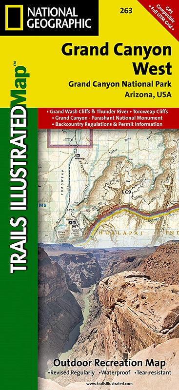
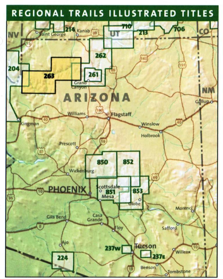
This map slightly overlaps with Grand Canyon East and contains detailed coverage from the high visitation areas just west of the Grand Canyon Visitor Center to the western boundary of the park at Lake Mead.

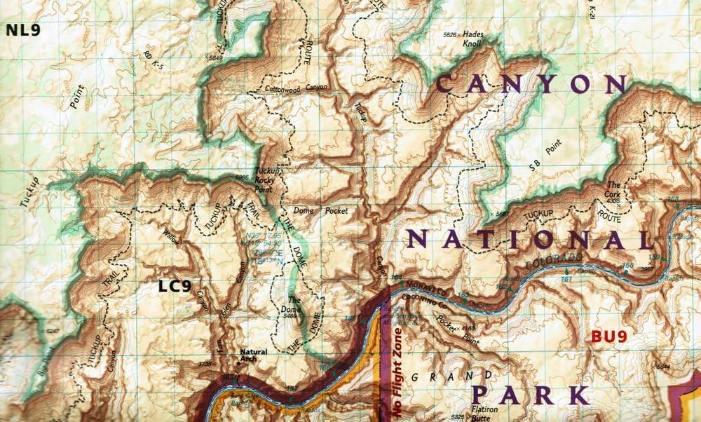
The map features detailed and easy-to-read trail and road networks, locations of facilities, points of interest, and highly accurate terrain with thousands of feature names. Official Grand Canyon Backcountry Use Areas are shown, coded by degree of experience required. Suggested hikes and itineraries, important park regulations, safety tips and contact information make these maps an invaluable resource.

Coverage highlights: Colorado River Miles 110-278, Havasu Falls, Mt. Trumbull Wilderness, Mt. Logan Wilderness, Parashant National Monument, Kaibab National Forest, Dead Horse Mesa, Timp Point, Hualapai Indian Reservation, Route 103, Kelly Point, Parashant Canyon Route, Joshua Tree Forest, Grand Wash Cliffs, and more.

add to wish list
€ 15.00
quantity
- 1 +
ship to :: Italia
Corriere espresso € 5.50
availability
available
add to cart