en
wishlist
login
mail

contact us

Cartography

Hiking maps, maps and atlases, cartography around the world. Maps of the trails, cartography for cyclotourism and mountain biking

Mountain

Alpine guides, hiking guides, technical manuals for summer and winter mountaineering. Mountain literature and filmography

Sea

Nautical manuals, nautical cartography, books and literature for sailboat and motor

Travels

Travel guides and travel literature for Italy, Europe and the rest of the world

Military

Collection of the best publications (books and DVDs) on the mountain war on the Alps and the rest of Italy and Europe
advanced search ricerca avanzata
back
Death Valley National Park
National Geographic | Trails Illustrated Map | USA | impermeabile, antistrappo | 1:165.000

Death Valley National Park

California / Nevada

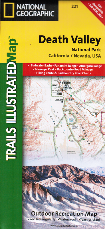
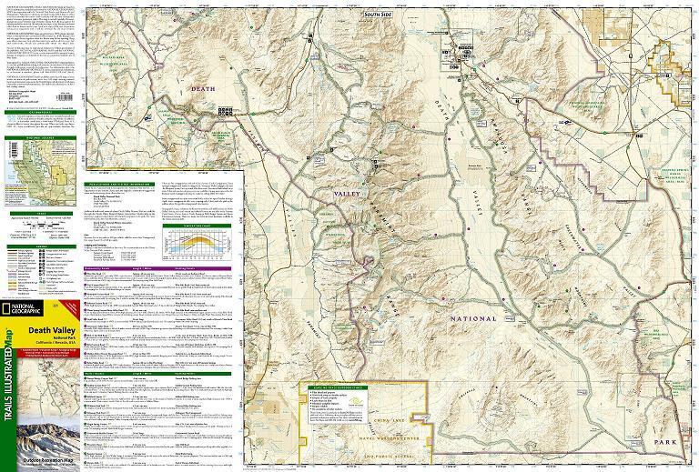
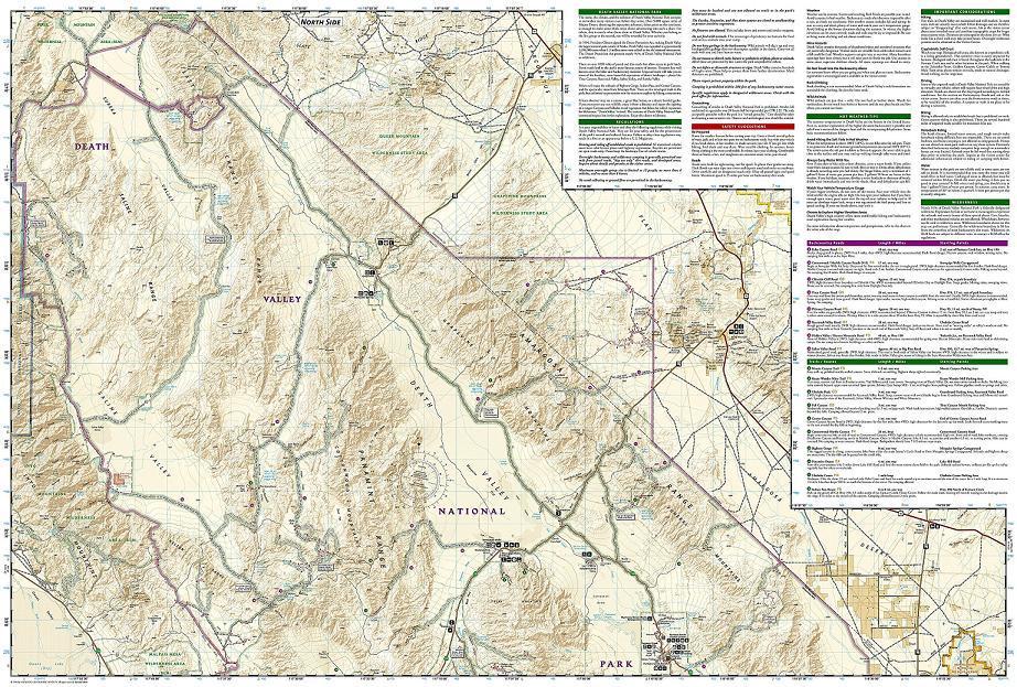
Death Valley National Park, which straddles the border of eastern California and western Nevada, encompasses the hottest, driest, and lowest places in the U.S. Within its three million acres you will find oceans of sand dunes, dramatic snow-capped mountains, spectacular geological formations, and breathtaking views. This map includes the entire national park area, with detailed trails and topographic information. The trails have been enhanced, and road and trail mileage have been added to create a map that is an essential guide for the area.

add to wish list
€ 15.00
quantity
- 1 +
ship to :: Italia
Corriere espresso € 5.50
availability
available
add to cart