


contact us
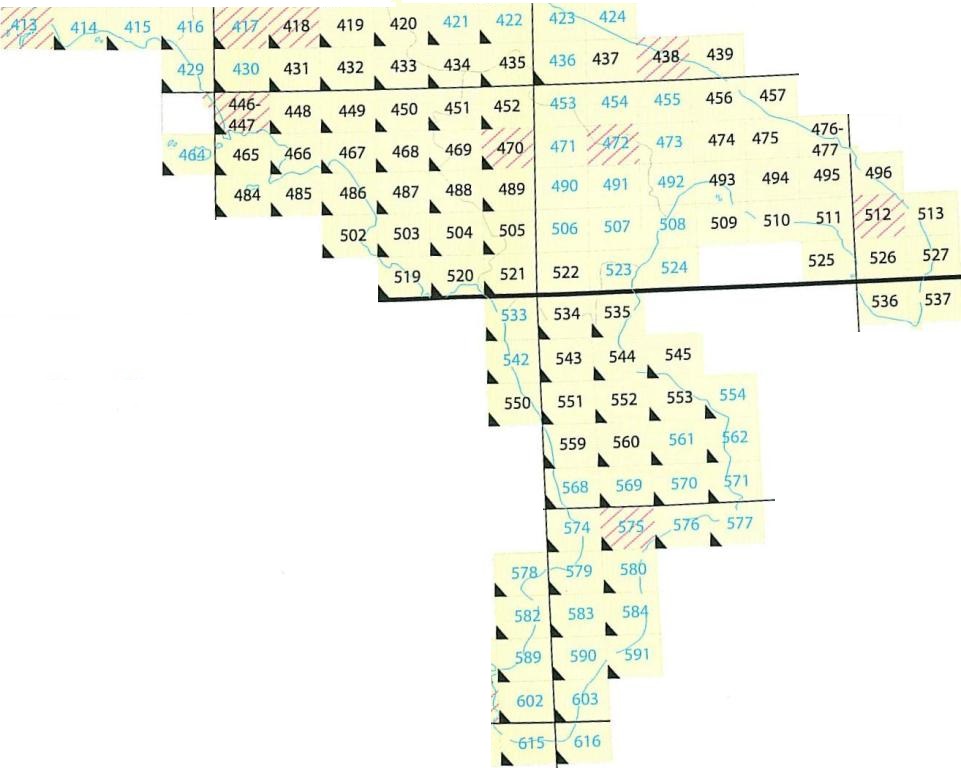
La carta si compone di 636 elementi alla scala 1:50.000, denominati fogli, con le dimensioni di 20' in longitudine e 12' in latitudine ed in corso di completamento. Questa carta derivata dai rilievi alla scala 1:25 000; ha l'orografia a sfumo e le curve di livello con equidistanza di 25 metri; riporta i confini di Stato ed i limiti amministrativi regionali, provinciali e comunali.
E' pubblicata in due serie:
• serie 50 a 6 colori, con l'orografia a sfumo e curve, con sovrastampa del reticolato chilometrico magenta
• serie 50L a 3 colori, con l'orografia a sole curve, con sovrastampa dei limiti ammministrativi in viola.

 484
485
543
544
486
496
487
413
488
489
545
490
491
492
416
417
418
493
419
420
421
422
423
424
494
495
502
503
504
505
506
507
520
508
509
510
511
512
513
519
521
522
523
524
525
526
527
533
534
446
464
465
535
536
537
542
466
467
468
469
550
470
551
552
553
554
599
560
568
429
569
430
570
571
574
431
432
575
471
472
473
474
433
576
475
434
577
578
435
436
437
438
476
579
580
582
583
584
589
590
591
601
439
448
602
449
450
614
615
603
616
451
452
453
454
455
456
457
562
561
414
415
484
485
543
544
486
496
487
413
488
489
545
490
491
492
416
417
418
493
419
420
421
422
423
424
494
495
502
503
504
505
506
507
520
508
509
510
511
512
513
519
521
522
523
524
525
526
527
533
534
446
464
465
535
536
537
542
466
467
468
469
550
470
551
552
553
554
599
560
568
429
569
430
570
571
574
431
432
575
471
472
473
474
433
576
475
434
577
578
435
436
437
438
476
579
580
582
583
584
589
590
591
601
439
448
602
449
450
614
615
603
616
451
452
453
454
455
456
457
562
561
414
415