


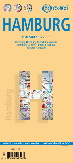
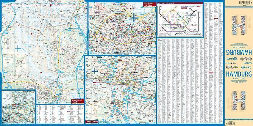
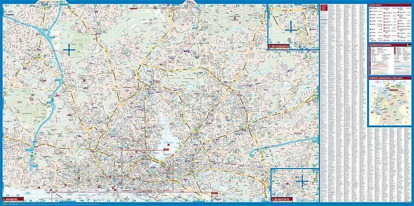
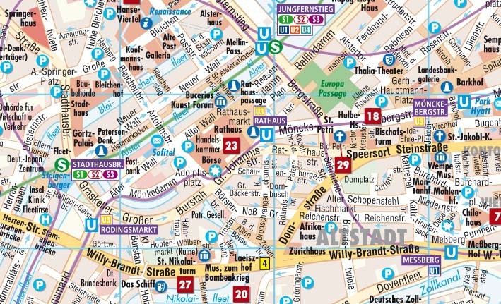
Our soft-laminated folded map of Hamburg in the 6th edition shows: Hamburg 1:22 000, Hamburg Centre 1:10 500, Blankenese 1:22 000, Hamburg Airport 1:22 000, Hamburg Harbour 1:25 000, Greater Hamburg 1:130 000, public transport, Top 30 sights, Germany administrative & time zone. Borch Maps are easy to fold, durable and water-repellent with a wipeable surface. Borch Maps show hotels, museums, monuments, markets, public transport, top sights and points of interest, useful statistics, conversion charts for temperatures, weights and measurements, climate charts showing temperatures, sunshine hours, precipitation and humidity, overview maps, time zones, and much more...
Located on the southern tip of the Jutland peninsula between continental Europe, Scandinavia, the North and the Baltic Seas, the Hanseatic City of Hamburg is Germany's second largest, the ninth largest port in the world and one of the world's most important transatlantic shipping hubs. Largely devastated by World War II air raids, today's Hamburg is the commercial and cultural center of northern Germany. Hamburg is the country's sports capital, home to Europe's tallest town hall, one of Europe's largest planetariums, at least 79 museums, and is also a major theater hub and venue for many famous shows. Hamburg's most famous street, the "Reeperbahn" where the Beatles began their career, is also the city's red-light district. Tourism plays a significant role in the city's economy, Hamburg's port and the Reeperbahn being the two most visited tourist sites in Germany. Sistered with Chicago, Marseille, Shanghai and Prague, the beautiful German maritime city of Hamburg is best visited in the spring or summer months.