en
wishlist
login
mail

contact us

Cartography

Hiking maps, maps and atlases, cartography around the world. Maps of the trails, cartography for cyclotourism and mountain biking

Mountain

Alpine guides, hiking guides, technical manuals for summer and winter mountaineering. Mountain literature and filmography

Sea

Nautical manuals, nautical cartography, books and literature for sailboat and motor

Travels

Travel guides and travel literature for Italy, Europe and the rest of the world

Military

Collection of the best publications (books and DVDs) on the mountain war on the Alps and the rest of Italy and Europe
back
Medio Oriente stato
Freytag & Berndt | Carte stradali / atlanti | Austria | 13 x 25,5 | 1:2.000.000

Medio Oriente

1:2.000.000

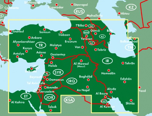
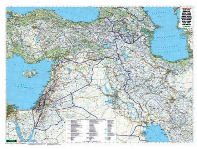
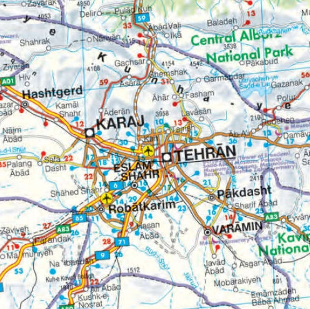
Le car card freytag & berndt sono disponibili per molti paesi e regioni in tutto il mondo. Oltre al design chiaro, la cartina stradale "Medio Oriente 1:2.000.000" contiene molte informazioni aggiuntive come le condizioni delle strade, le attrazioni e le diverse mappe del centro città. L'ampio registro delle posizioni consente inoltre un rapido orientamento. Paesi coperti: Iraq, Iran, Kuwait, Israele, Giordania, Libano, Siria, Turchia, Cipro, Georgia, Armenia, Azerbaigian; Registro della posizione con codici postali, distanze in km, mappe delle città: Amman, Il Cairo, Dimashq, Lefkosia/Nicosia, Teheran.

add to wish list
€ 12.90
quantity
- 1 +
ship to :: Italia
Corriere espresso € 6.00
availability
coming soon
notify when available