en
wishlist
login
mail

contact us

Cartography

Hiking maps, maps and atlases, cartography around the world. Maps of the trails, cartography for cyclotourism and mountain biking

Mountain

Alpine guides, hiking guides, technical manuals for summer and winter mountaineering. Mountain literature and filmography

Sea

Nautical manuals, nautical cartography, books and literature for sailboat and motor

Travels

Travel guides and travel literature for Italy, Europe and the rest of the world

Military

Collection of the best publications (books and DVDs) on the mountain war on the Alps and the rest of Italy and Europe
advanced search ricerca avanzata
back
-5%
M05 - Isola di San Pietro (Sulcis)
Abies | Escursionismo | Firenze | 2005 | 1:30.000

M05 - Isola di San Pietro (Sulcis)

Carta turistico - escursionistica

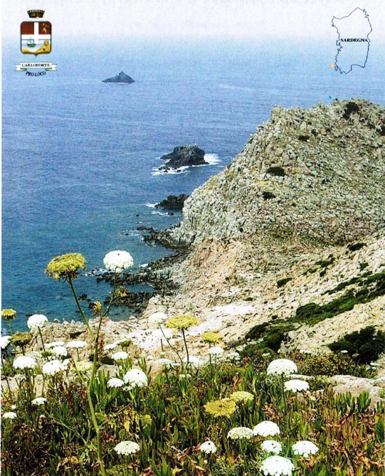
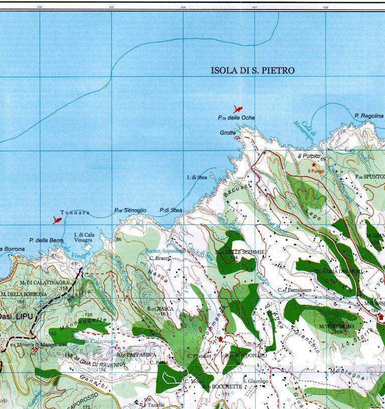
L´isola di S.Pietro (51 km2) è raggiungibile solo via mare con 30 minuti circa di navigazione partendo dal molo di Calasetta o da quello di Portovesme; entrambe le attraversate hanno il trasporto auto. Le coste rappresentano uno degli aspetti più interessanti dell'isola, soprattutto nella parte occidentale, dove l'azione erosiva del mare ha creato rientranze, strapiombi, falesie e grotte in cui nidificano specie protette come il Falco della Regina e di suggestiva bellezza. La costa est è invece bassa e sabbiosa. Per poter ammirare gli scorci più belli è consigliato il periplo dell'isola in barca. Esistono gite organizzate con imprese turistiche o con l´Associazione "la Verde Isola".

index
add to wish list
€ 6.65
instead of € 7.00
quantity
- 1 +
ship to :: Italia
Corriere espresso € 5.50
availability
available
add to cart