en
wishlist
login
mail

contact us

Cartography

Hiking maps, maps and atlases, cartography around the world. Maps of the trails, cartography for cyclotourism and mountain biking

Mountain

Alpine guides, hiking guides, technical manuals for summer and winter mountaineering. Mountain literature and filmography

Sea

Nautical manuals, nautical cartography, books and literature for sailboat and motor

Travels

Travel guides and travel literature for Italy, Europe and the rest of the world

Military

Collection of the best publications (books and DVDs) on the mountain war on the Alps and the rest of Italy and Europe
back
-5%
Comune di Massa e Cozzile
SELCA | Firenze | 1:10.000

Comune di Massa e Cozzile

Carta escursionistica e turistica

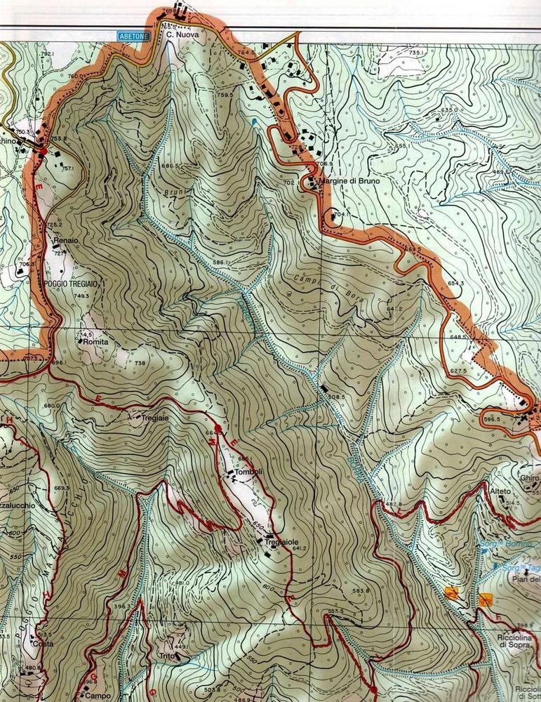
Sul retro della carta descrizione di 12 itinerari escursionistici:
• Località di partenza e arrivo
• Quote altimetriche
• Distanza
• Tempi di percorrenza (ore) A/R

Carta curata dall'Assessirato al Turismo del Comune di Massa e Cozzile.

Gli itinerari escursionistici sono stati realizzati con la collabiorazione del C.A.I., sottosezione di Pescia - Sezione di Firenze (a cura di Gianfranco Fucci)

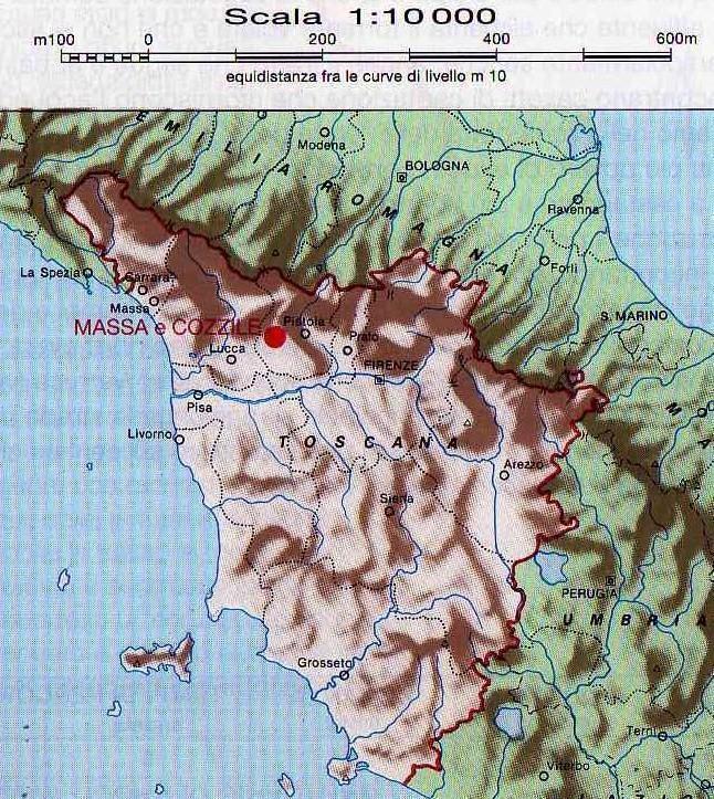
Base topografica dai tipi della C.T.R. dell'Amministrazione Provinciale di Pistoia


add to wish list
€ 6.18
instead of € 6.50
quantity
- 1 +
ship to :: Italia
Corriere espresso € 6.00
availability
Out of stock
notify when available