en
wishlist
login
mail

contact us

Cartography

Hiking maps, maps and atlases, cartography around the world. Maps of the trails, cartography for cyclotourism and mountain biking

Mountain

Alpine guides, hiking guides, technical manuals for summer and winter mountaineering. Mountain literature and filmography

Sea

Nautical manuals, nautical cartography, books and literature for sailboat and motor

Travels

Travel guides and travel literature for Italy, Europe and the rest of the world

Military

Collection of the best publications (books and DVDs) on the mountain war on the Alps and the rest of Italy and Europe
back
-5%
Gran San Bernardo Valpelline e Conca del Fallère
L'escursionista | Guide | Luca Zavatta | Rimini | 7/2004 | pagine 412 | 11 x 16

Gran San Bernardo Valpelline e Conca del Fallère

103 escursioni e 3 trekking

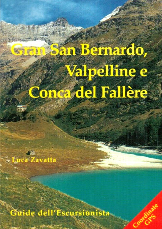
103 itinerari escursionistici tra cui 78 circolari da percorrere in giornata, nella Valle del Gran San Bernardo, Valpelline e Conca del Fallere, con dettagliate tavole cartografiche. La Valle de Gran San Bernardo, storicamente legata al suo valico, fu attraversata da moltitudini di genti di differente provenienza e cultura. La Valpelline propone una scelta di itinerari senza eguali in regione, in una natura praticamente incontaminata e con valide strutture ricettive ad alta quota. La Conca del Fallère comprende tutto il versante a nord della Dora Baltea, da Vétan alle porte di Aosta ed offre una gamma di itinerari vari e sconosciuti, dai 600 ai 3000 metri di quota. Inoltre, tre emblematici trekking: la Via Francigena nella Valle del Gran San Bernardo, il Tour della Luseney in Valpelline e un grande itinerario panoramico da Aosta a La Salle, effettuabile anche nelle stagioni intermedie.
 

add to wish list
€ 15.68
instead of € 16.50
quantity
- 1 +
ship to :: Italia
Corriere espresso € 6.00
availability
usually shipped within 10/20 days
add to cart