en
wishlist
login
mail

contact us

Cartography

Hiking maps, maps and atlases, cartography around the world. Maps of the trails, cartography for cyclotourism and mountain biking

Mountain

Alpine guides, hiking guides, technical manuals for summer and winter mountaineering. Mountain literature and filmography

Sea

Nautical manuals, nautical cartography, books and literature for sailboat and motor

Travels

Travel guides and travel literature for Italy, Europe and the rest of the world

Military

Collection of the best publications (books and DVDs) on the mountain war on the Alps and the rest of Italy and Europe
advanced search ricerca avanzata
back
Pica d'Estats Mont-Roig Vall Ferrera, Vall de Cardos
Editorial Alpina | Spagna | pagine 114 | 1:25.000

Pica d'Estats Mont-Roig Vall Ferrera, Vall de Cardos

Mapa/Guía Excurionista

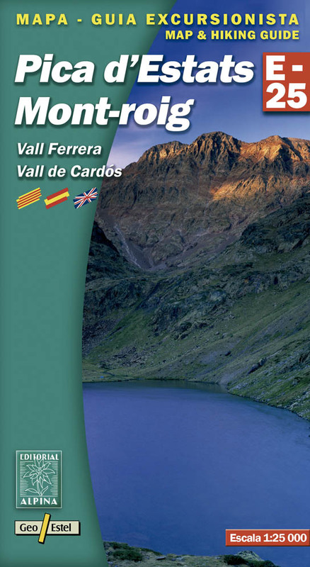
• Mapa excursionista y guía
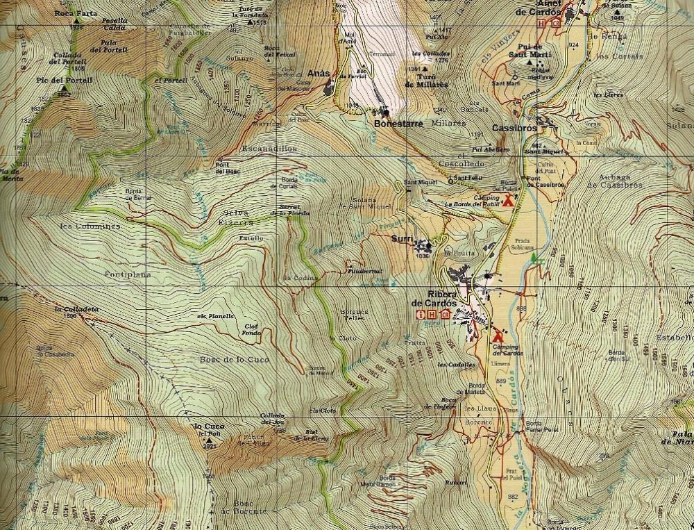
• Escala: 1:25.000
• Equidistancia: 10 m
• Curvas maestras: a 50 m
• Sombreado automático
• Usos del suelo representados a 3 niveles
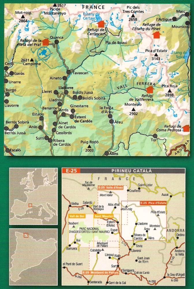
• Cuadrícula UTM con divisiones de 1 km
• Compatible GPS
• Itinerarios marcados
• Guía con excursiones y datos de interés

Idiomas: català, español, english, français

add to wish list
€ 7.50
quantity
- 1 +
ship to :: Italia
Corriere espresso € 5.50
availability
available
add to cart