


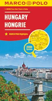
Le carte con scala 1:300.000 coprono ampie porzioni di territorio mantenendo un alto dettaglio sulle le località minori e strade secondarie. Segnalano le località di interesse turistico, punti e strade panoramiche, i parchi e le aree naturali protette.
Novità: Contengono un comodo booklet fotografico che, come una guida turistica, racconta e illustra tutto quello che merita una visita; inoltre contiene l’elenco di tutte le località indicate sulla carta, informazioni e numeri utili, tabella delle distanze chilometriche e tempi di percorrenza.
Novità: Queste nuove carte integrano il nuovo Zoom System, per entrare direttamente nel cuore di una destinazione. Per le principali città e mete turistiche, sono riportate le Transit Map (le mappe con le vie di accesso alla città) e le City Map (le piante dei centri cittadini). In questo modo, avrete sotto gli occhi l’intero itinerario.
Sono garantite leggibilità, completezza di informazione e praticità.
confezione : copertina plastificata, piega a portafoglio