


contact us
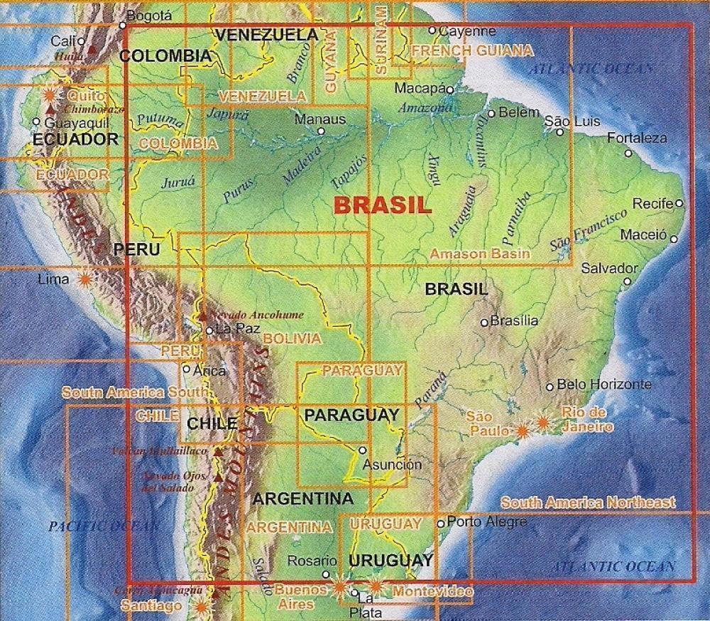
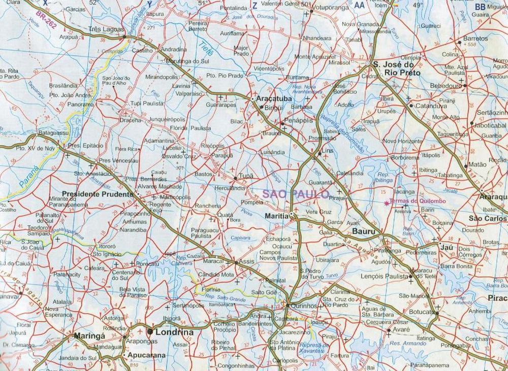
ITMB’s double-sided, indexed road map of Brazil with an index street plan of central Rio de Janeiro, plus basic plans of Sao Paulo and Brasilia, folded to a slightly larger format than the publisher's standard edition and with a card cover. The southern part of the country is presented at 1:2,200,000 and the north at 1:4,500,000. General relief is portrayed by altitude tinting with spot height, indicating swamps, salt pans, glaciers and active volcanoes. National parks and reserves are marked. Road network includes secondary roads and selected tracks, and intermediate distances are marked on many routes. Main railway lines, canals, local airports and landing grounds are also shown. State boundaries are marked and symbols highlight various places of interest. Map legend is in English and Portuguese. Several insets complement the main map: a small map of Fernando de Noronha (approx 1:100,000), main road maps of Brasilia and Sao Paulo, and an indexed street plan of central Rio de Janeiro at 1:12,500.