


contact us
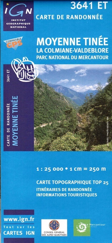
L'indispensable carte de randonnée IGN 3641ET. D'une très grande précision elle contient tous les détails existants sur le terrain : voies de communication jusqu'au moindre sentier, constructions jusqu'au hangar, bois, arbre isolé, rivière, source... Sans oublier la représentation du relief par des courbes de niveau. Les sentiers balisés et les informations touristiques sont également représentés.
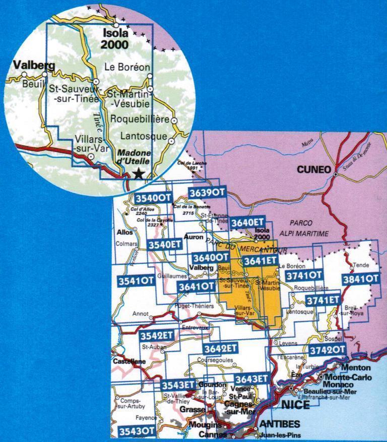
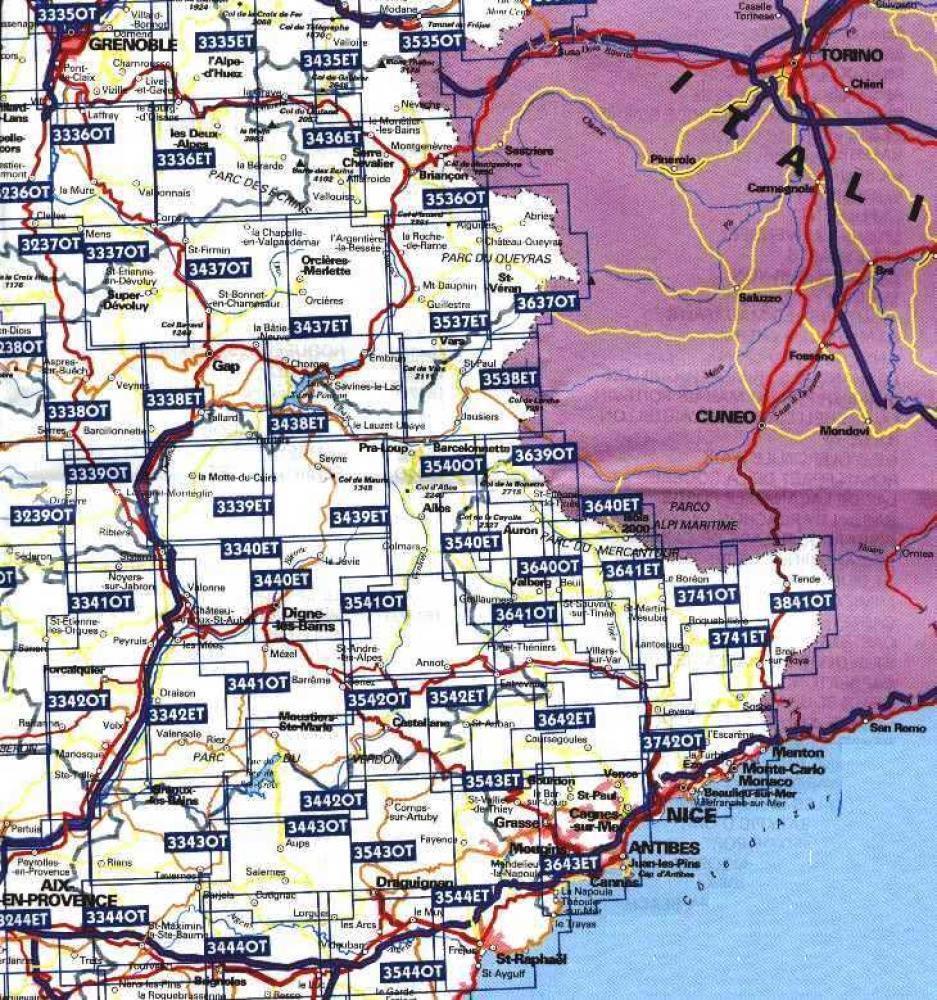
Communes couvertes : Isola, Saint-Sauveur-sur-Tinée, Massoins, Saint-Antonin, Clans, Pierlas, Tournefort, Marie, Ilonse, Roubion, La Tour, Thiéry, Villars-sur-Var, Roure, Utelle, Venanson, Touët-sur-Var, Ascros, Lieuche, Bairols, Malaussène, Rimplas, Rigaud, Valdeblore
Lieux à découvrir : Préalpes d'Azur,le Bois Noir, Forêt de Duina,Cime de Tavels, les Clots, Tête de Giarons, Mont Pépoiri, Baus de la Frema, Col St-Martin, Pointe de Sérenton, Mont Tournairet, Mt Viroulet, Pointe de la Gardette, Mont Fracha, Mont Brune, Cime de Frémamorte, Pointe des Quatre Cantons, Cime de Colmia