en
wishlist
login
mail

contact us

Cartography

Hiking maps, maps and atlases, cartography around the world. Maps of the trails, cartography for cyclotourism and mountain biking

Mountain

Alpine guides, hiking guides, technical manuals for summer and winter mountaineering. Mountain literature and filmography

Sea

Nautical manuals, nautical cartography, books and literature for sailboat and motor

Travels

Travel guides and travel literature for Italy, Europe and the rest of the world

Military

Collection of the best publications (books and DVDs) on the mountain war on the Alps and the rest of Italy and Europe
back
3640ET Haute Tinée 2 - Isola 2000 PN Mercantour

3640ET Haute Tinée 2 - Isola 2000 PN Mercantour

GPS compatibile

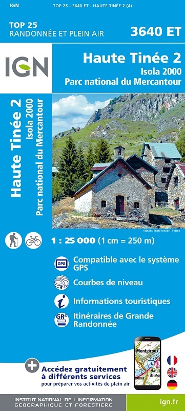
L'indispensable carte de randonnée  IGN 3640ET. D'une très grande précision elle contient tous les détails existants sur le terrain : voies de communication jusqu'au moindre sentier, constructions jusqu'au hangar, bois, arbre isolé, rivière, source... Sans oublier la représentation du relief par des courbes de niveau. Les sentiers balisés et les informations touristiques sont également représentés.

Communes couvertes : Isola, Saint-Sauveur-sur-Tinée, Roubion, Péone, Beuil, Roure, Rimplas

Lieux à découvrir : Monte Matto, Punta Maladecia, Monte Aver, Cime de la Lombarde, Testa Mouton, Punta Ciarnier, Cima Valrossa Nord, Cima Georgia Cagna, Cime de Tavels, Col de la Lombarde, Mont Mounier, Croix de Valberg, Mont Pépoiri, Baus de la Frema, Col St-Martin, Cime


add to wish list
€ 15.50
quantity
- 1 +
ship to :: Italia
Corriere espresso € 6.00
availability
usually shipped within 15/30 days
add to cart