


contact us
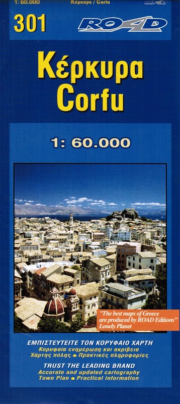
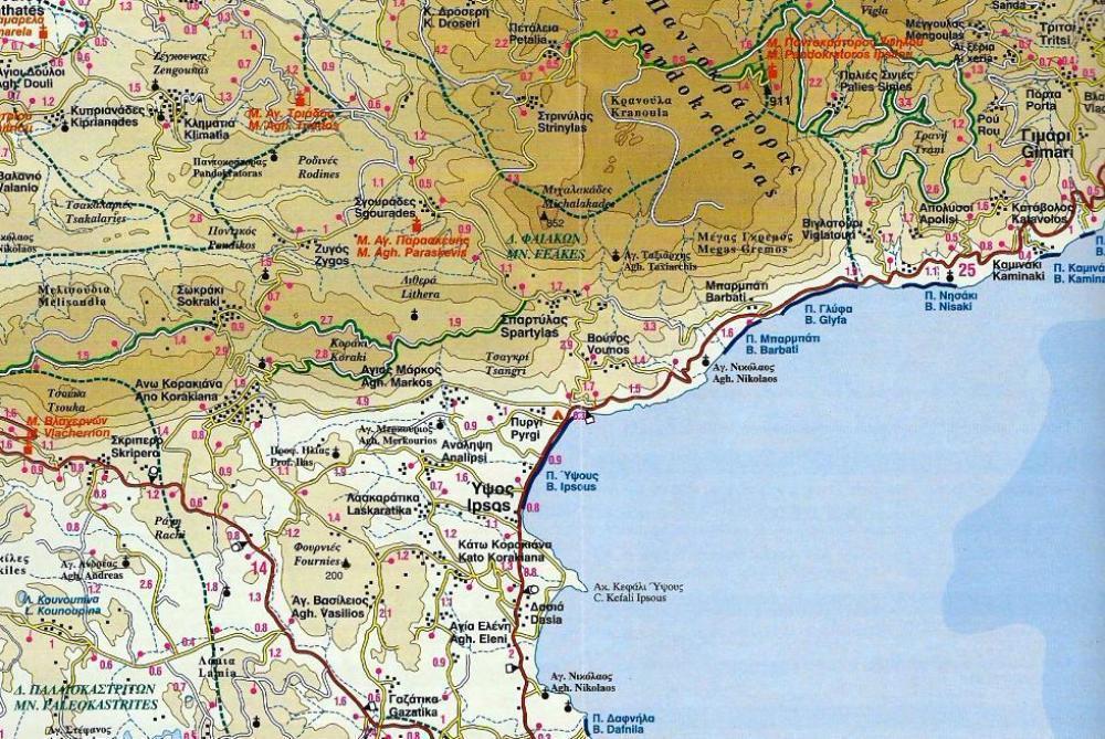
This is the best, most updated and easy to read map available of Corfu. As all ROAD maps of islands, it was designed following careful and exhaustive onsite research. We used the most advanced technology to precisely map the entire road network of the island, measured the distances in kilometers from intersection to intersection with precision instruments, marked all country churches, monasteries, archaeological sites and castles on the island, as we did the beaches and the roads leading to them, the altitudes of the mountain peaks, the footpaths we were able to locate and record, the location names as they are currently in use, the lighthouses, the airport of course and much more.
We provide the basic features regarding the history, important sights, beaches and modern day Corfu in the form of brief texts, rendered in Greek and English, on the front of the map.
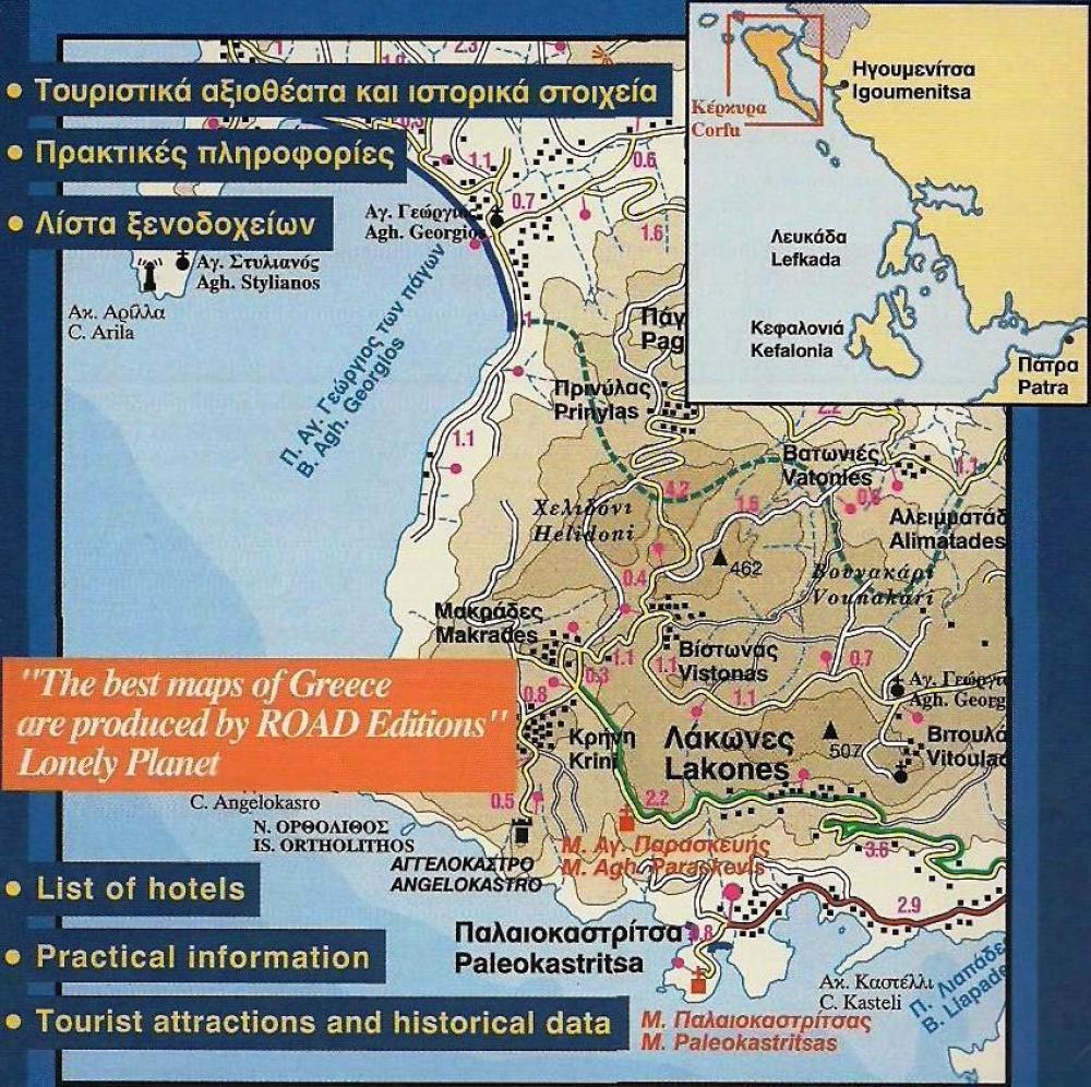
We highlighted in green the island’s scenic routes, to allow you to freely enjoy the beautiful landscapes while driving.
The contour lines on this map (at 100m intervals), the coastline and hydrography were provided by the Hellenic Military Geographic Service.
There is a complete listing the accommodations available on the island, with telephone numbers and information, on the back of the map, which is also in colour. On the back of the map there is also an impressive map of the city of Corfu, upon which the streets, pedestrian walks, squares, the two castles, churches, public services, banks, restaurants and main roads are carefully marked.
In addition to Corfu, the islet Erikoussa is shown in its natural location on the map (northwest of Corfu), while the islands Othoni and Mathraki are shown in inset frames.