


contact us
Mappa dettagliata e aggiornata della Macedonia Centrale, che include, naturalmente, la popolare regione turistica della Calcidica e il Monte Athos. Utilizza la tecnologia G.I.S. (Sistemi Informativi Geografici) e il sistema di riferimento WGS84, integrato da una griglia GS87.
Basata su una ricerca sul campo completata nel 2013, questa mappa presenta tutte le autostrade nazionali più recenti, i relativi svincoli, caselli autostradali e stazioni di servizio autostradali, nonché l'autostrada Egnatia, i suoi svincoli e assi verticali, e i valichi di frontiera.
Sono inoltre rappresentate le attrazioni turistiche della regione, i siti archeologici, i castelli, i monasteri, i parchi nazionali, le grotte visitabili, i percorsi panoramici da esplorare, i campeggi, le stazioni di servizio, i vigneti a Denominazione di Origine Protetta e le cantine aperte al pubblico. Nelle regioni montuose sono illustrate le stazioni sciistiche, i rifugi alpini e i sentieri principali.
La presentazione della rete stradale è eccezionalmente dettagliata e completa per riflettere la scala della mappa, ed è organizzata in sei categorie. La mappa è contenuta in una pratica custodia trasparente a doppia busta. Un lato contiene la mappa rimovibile, l'altro un libretto rimovibile con l'indice alfabetico di città, villaggi, siti archeologici e monasteri.
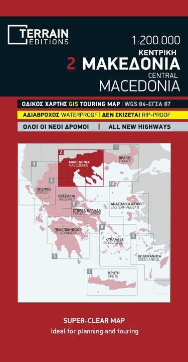
Detailed and updated map of Central Macedonia including, naturally, the popular tourist region of Halkidiki and Mount Athos. It uses G.I.S. (Geographical Information Systems) technology and the WGS84 reference system, supplemented by a ?GS?87 grid.
Based on field research completed in 2013, this map features all the newest national motorways, their interchanges, toll stations and Motorway Service Stations, as well as Egnatia motorway, its interchanges and vertical axes, and the border crossings.
Also depicted are the region’s tourist attractions, archaeological sites, castles, monasteries, National Parks, caves open to visitors, scenic routes worth exploring, campsites, gas stations, vineyards under Protected Designation of Origin and wineries open to the public. In mountainous regions the ski resorts, mountain refuges and main trails are illustrated.
Presentation of the road network is exceptionally detailed and complete to reflect the scale of the map, and it is arranged in six categories. The map comes in a very practical clear double sleeve. One side contains the removable map, the other a removable booklet with the alphabetical index of cities, villages, archaeological sites and monasteries.