


contact us
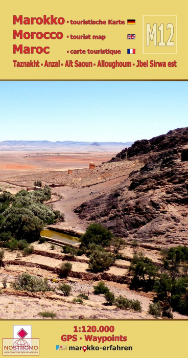
M12: Minerals, carpets and mysterious ruined villages around Taznakht.
The diversity of the area between Jbel Sirwa and the eastern foothills of the Anti Atlas is what makes this leaf so appealing.
Hikes in almost uninhabited areas promise more than just impressive views. The friendly and helpful locals give the impression that visitors are welcome here.
Trilingual (de. / en. / fr.) highly detailed tourist map / travel guide of Morocco.
Of the more than 200 destinations marked on the map page, 77 are described in more detail on the travel guide page. 60 of them are provided with coordinates. With background information on history.
Sights and other details:
Mining: Minerals in the traditional mining area along the RR108 and RP1520 around Bou Azzer
Cave dwellings: Abandoned cave dwellings in the limestone rocks on the Zenaga plain not far from the RN10
Settlement structures: Enigmatic settlement structures east of RR111 on the road to Foum Zguid
Jewish remains: Jewish cemetery near Taznakht
Fortified villages: Partially restored village of Alloghoum with large tighremt
Tasla: a former caravan station on the RR108 with a small museum
Granaries throughout the area