


contact us
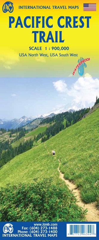
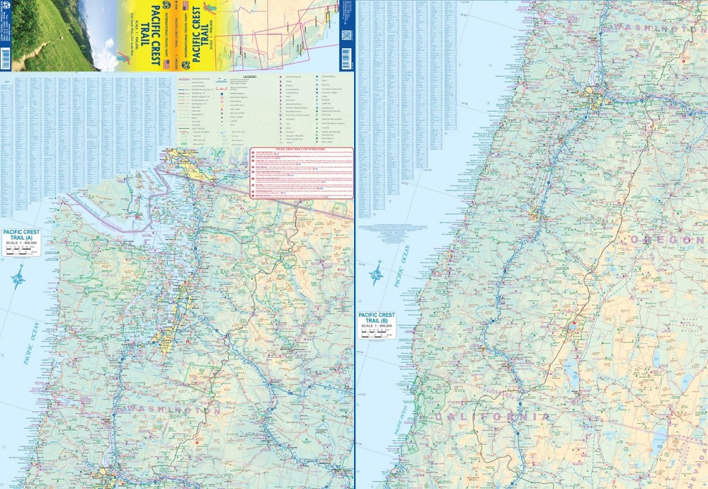
The USA has several long-distance hiking trails, of which the Pacific Crest Trail is probably the longest. Stretching from just east of San Diego northward through California, Oregon, and Washington states to the Canadian border, this hiking trail is not for the faint of heart! It follows the crest, or high portion of various mountain chains, passes through several national parks, and ends up in Canada’s Manning Provincial Park. This is an over-view map, not a practical day-to-day usable map, but is the only map to show the entire trail. There is a proviso. For security reasons, the trail portion between Canada and the USA has been blocked. This is a shame, because one of the most interesting segments is the portion of the trail just south of the Canadian border, with elevations exceeding 6,000 feet. This means that anyone hiking this portion of trail can start at Hwy 20 in Washington State, but must return to their starting point. Similarly, those starting at Manning Park Lodge can head south to the border area, but must return to their starting point. Furthermore, there is no convenient legal crossing point; the closest being the Sumas crossing to the west. Regardless, this 1,600 mile/2,000km long trail is an unparalleled adventure in outdoors experience.
Legend Includes:
Roads by classification, Rivers and Lakes, National Park, Airports, Points of Interests, Highways, Main Roads, Zoos, Fishing, and much more...
Gli Stati Uniti hanno diversi sentieri escursionistici a lunga distanza, di cui il Pacific Crest Trail è probabilmente il più lungo. Estendendosi da appena a est di San Diego verso nord attraverso California, Oregon e gli stati di Washington fino al confine canadese, questo sentiero escursionistico non è per i deboli di cuore! Segue la cresta, o parte alta di varie catene montuose, attraversa diversi parchi nazionali e finisce nel Manning Provincial Park in Canada. Questa è una mappa panoramica, non una mappa pratica utilizzabile quotidianamente, ma è l'unica mappa che mostra l'intero sentiero. C'è una clausola. Per motivi di sicurezza, la parte del sentiero tra Canada e Stati Uniti è stata bloccata. È un peccato, perché uno dei segmenti più interessanti è la parte del sentiero appena a sud del confine canadese, con altitudini superiori a 6.000 piedi. Ciò significa che chiunque percorra questa parte del sentiero può iniziare dall'autostrada 20 nello stato di Washington, ma deve tornare al punto di partenza. Allo stesso modo, coloro che iniziano dal Manning Park Lodge possono dirigersi a sud verso la zona di confine, ma devono tornare al punto di partenza. Inoltre, non c'è un comodo punto di attraversamento legale; il più vicino è il valico di Sumas a ovest. In ogni caso, questo sentiero lungo 1.600 miglia/2.000 km è un'avventura senza pari nell'esperienza all'aria aperta.
La legenda include:
Strade per classificazione, fiumi e laghi, parchi nazionali, aeroporti, punti di interesse, autostrade, strade principali, zoo, pesca e molto altro...