en
wishlist
login
mail

contact us

Cartography

Hiking maps, maps and atlases, cartography around the world. Maps of the trails, cartography for cyclotourism and mountain biking

Mountain

Alpine guides, hiking guides, technical manuals for summer and winter mountaineering. Mountain literature and filmography

Sea

Nautical manuals, nautical cartography, books and literature for sailboat and motor

Travels

Travel guides and travel literature for Italy, Europe and the rest of the world

Military

Collection of the best publications (books and DVDs) on the mountain war on the Alps and the rest of Italy and Europe
back
-5%
Alto Appennino Imolese
L'escursionista | Cartografia Appennino | Rimini | 07/2022 | 12 x 17 (guida) - 70 x 100 (carta) | 11 x 16 | 1:25.000

Alto Appennino Imolese

Passo della Raticosa, Passo della Futa, Firenzuola, Badia Moscheta

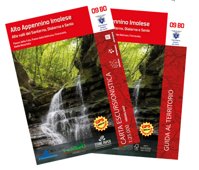
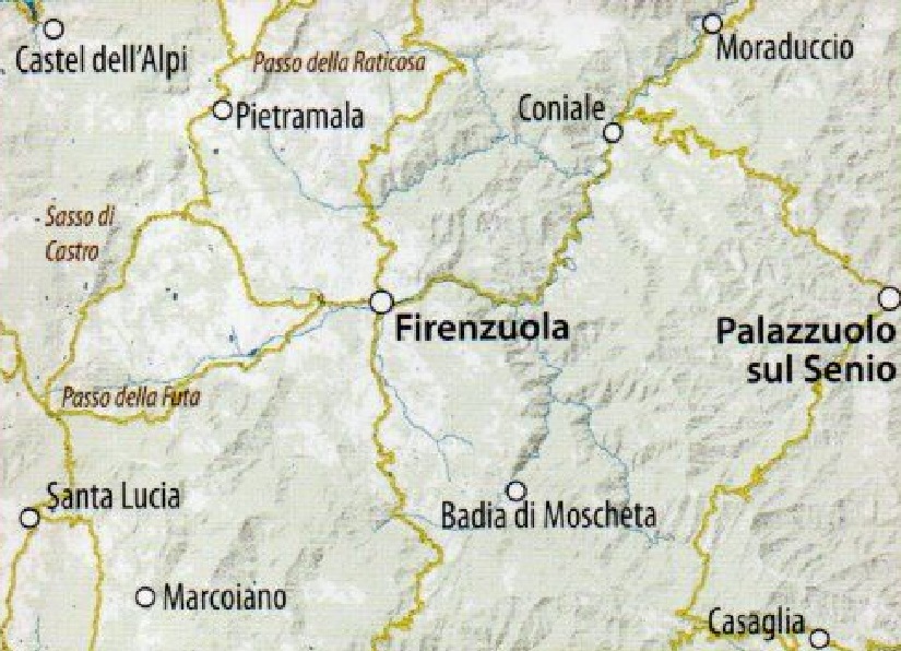
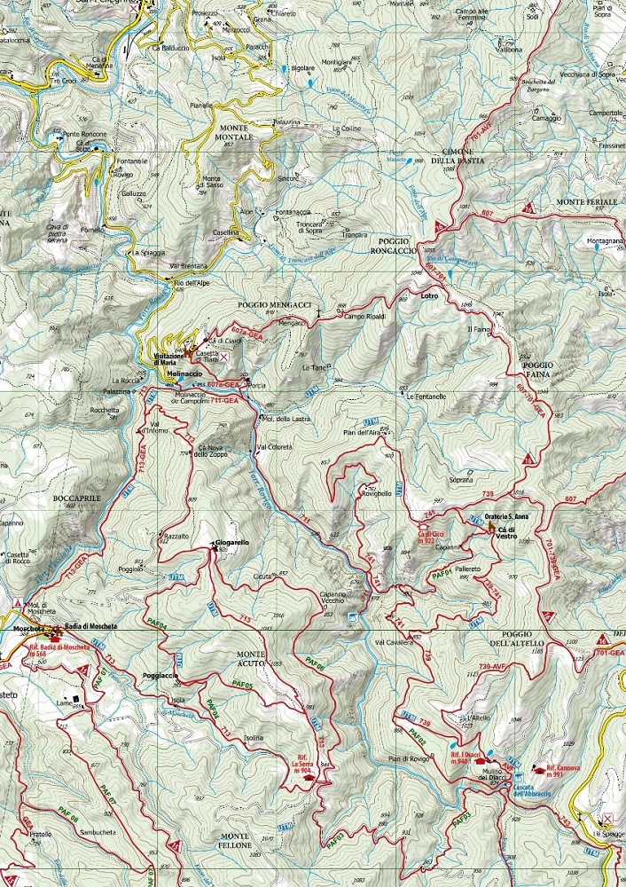
Carta dei sentieri del dell'Alto Appennino Imolese, alte valli del Santerno, Diaterna e Senio, con reticolo chilometrico WGS84. I sentieri segnati sono stati rilevati sul territorio con apparecchiatura satellitare GPS. Stampata su supporto ecologico, impermeabile e resistente.
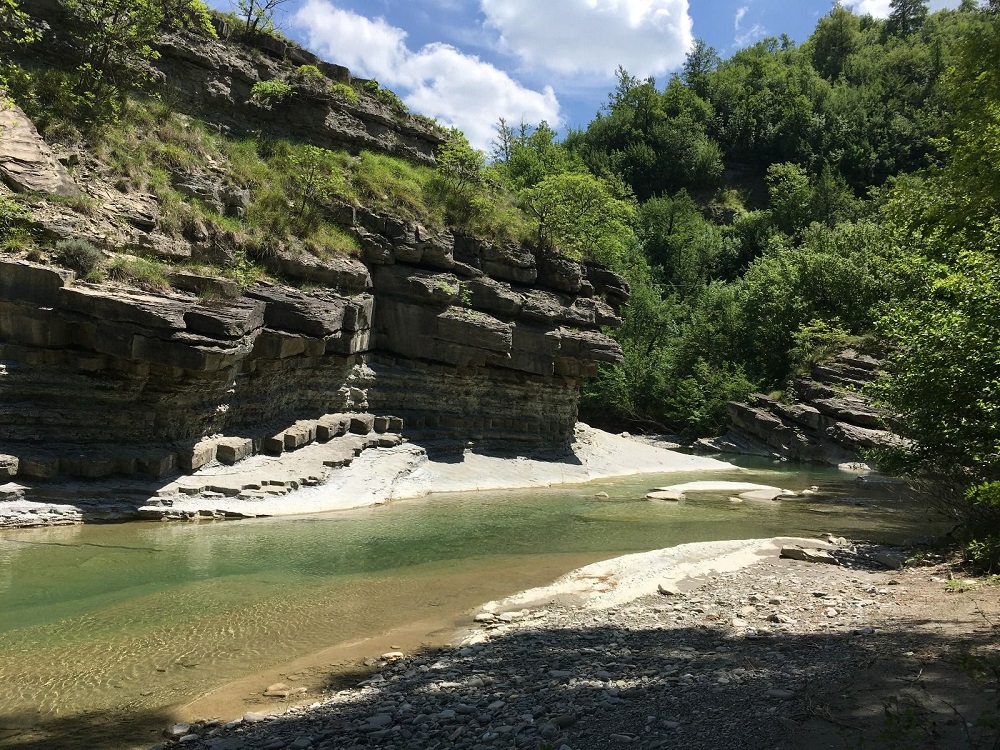
Guida di 48 pagine con le peculiarità del territorio bolognese e fiorentino. 


add to wish list
€ 8.55
instead of € 9.00
quantity
- 1 +
ship to :: Italia
Corriere espresso € 6.00
availability
available
add to cart