en
wishlist
login
mail

contact us

Cartography

Hiking maps, maps and atlases, cartography around the world. Maps of the trails, cartography for cyclotourism and mountain biking

Mountain

Alpine guides, hiking guides, technical manuals for summer and winter mountaineering. Mountain literature and filmography

Sea

Nautical manuals, nautical cartography, books and literature for sailboat and motor

Travels

Travel guides and travel literature for Italy, Europe and the rest of the world

Military

Collection of the best publications (books and DVDs) on the mountain war on the Alps and the rest of Italy and Europe
back
Creta - Atlante stradale
Freytag & Berndt | Carte stradali / atlanti | Austria | 2024 | 12 x 21 | 1:150.000

Creta - Atlante stradale

1:150.000

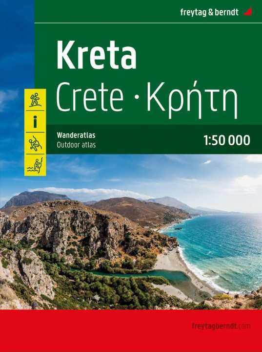
Der Wanderatlas Kreta 1:50.000 bietet Informationen zu Wanderwegen, Hütten, Naturdenkmälern, Sehenswürdigkeiten und Freizeiteinrichtungen. - Wanderkarten 1:50.000 - Kartenteil 104 Seiten - Touristische Informationen - Klettern - Canyoning - Ortsverzeichnis
Wanderführer mit 40 Touren und GPX Tracks
Sprache:Deutsch


L'Atlante escursionistico di Creta 1:50.000 fornisce informazioni su sentieri escursionistici, rifugi, monumenti naturali, attrazioni e strutture per il tempo libero. - Carte escursionistiche 1:50.000 - Sezione cartografica 104 pagine - Informazioni turistiche - Arrampicata - Canyoning - Elenco delle località
Guida escursionistica con 40 tour e tracce GPX
Lingua: tedesco

add to wish list
€ 19.90
quantity
- 1 +
ship to :: Italia
Corriere espresso € 6.00
availability
usually shipped within 15/30 days
add to cart