


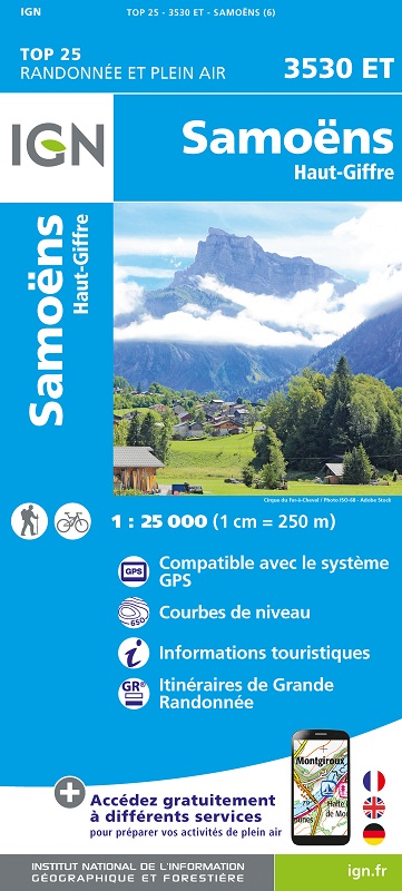
L'indispensable carte de randonnée IGN 3530ET. D'une très grande précision elle contient tous les détails existants sur le terrain : voies de communication jusqu'au moindre sentier, constructions jusqu'au hangar, bois, arbre isolé, rivière, source... Sans oublier la représentation du relief par des courbes de niveau. Les sentiers balisés et les informations touristiques sont également représentées.
Communes couvertes : Saint-Sigismond, Les Gets, Magland, Passy, La Rivière-Enverse, Servoz, Les Houches, Arâches-la-Frasse, Morillon, Verchaix, Vallorcine, Domancy
Lieux à découvrir : Lac du Vieux Emosson, Glacier des Bossons,,le Brévent, Tête du Colonney, Grand Mont Ruan, Pointe de la Finive, Plateau d'Assy, Plan de l'Aiguille, Gorges de la Diosaz, Cirque des Fonds, les Tines des Fonds, les Grandes Platières, le Prarion, Aiguille du Belvédère