en
wishlist
login
mail

contact us

Cartography

Hiking maps, maps and atlases, cartography around the world. Maps of the trails, cartography for cyclotourism and mountain biking

Mountain

Alpine guides, hiking guides, technical manuals for summer and winter mountaineering. Mountain literature and filmography

Sea

Nautical manuals, nautical cartography, books and literature for sailboat and motor

Travels

Travel guides and travel literature for Italy, Europe and the rest of the world

Military

Collection of the best publications (books and DVDs) on the mountain war on the Alps and the rest of Italy and Europe
back
-5%
4 Monti Sibillini
IGA Istituto Geografico Adriatico di Raffaele Monti | IGA 25 | Longiano | 2023 | 70 x 100 | 1:25.000

4 Monti Sibillini

Il Parco Nazionale

Risultato di una campagna rilievi sul territorio particolarmente impegnativa, grazie al lavoro di guide escursionistiche locali.
Vagliata e convalidate dalle varie sezioni CAI della zona.
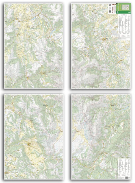
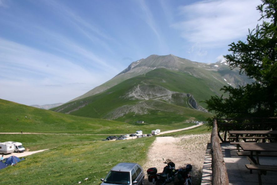
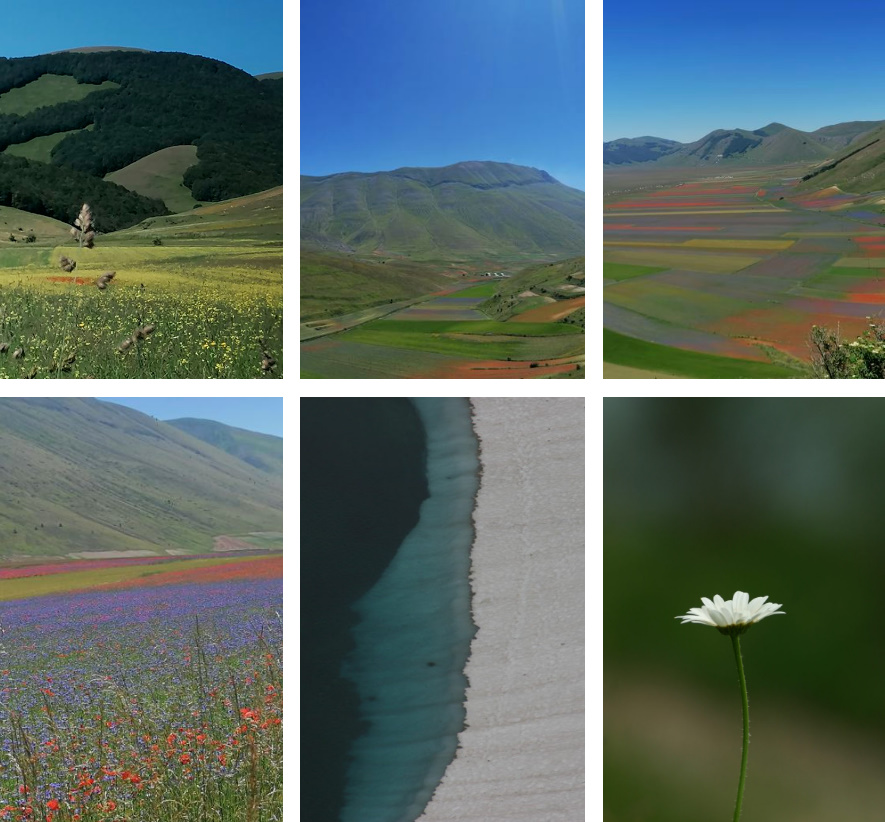
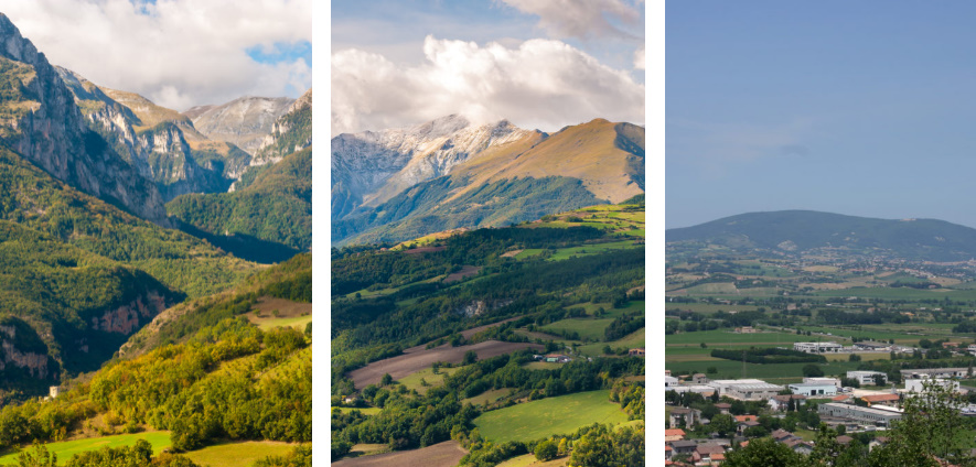
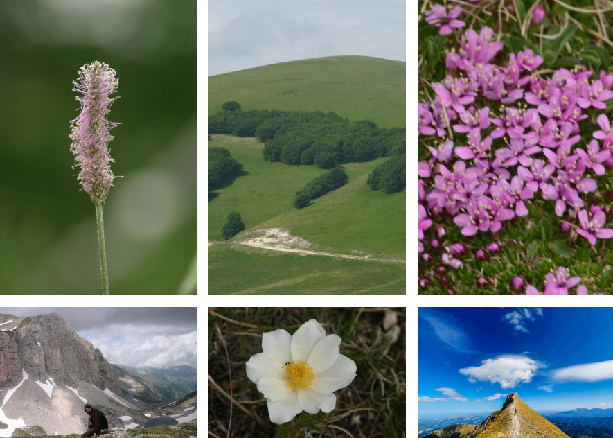
Il territorio preso in considerazione comprende tutto il gruppo montuoso, anche le zone più basse, che sono altrettanto attraenti.
Oltre la sentieristica CAI, vengono segnalati i diversi cammini presenti sul territorio, le emergenze storico e naturalistiche oltre le strutture ricettive.

Sentieristica rilevata con strumentazione GPS.
Oltre i sentieri CAI sono riportati gli itinerari consigliati dall'Ente Parco sia per Trekking che per MTB, ma anche i cammini che attraversano quest'area e naturalmente il Grande Anello dei Sibillini.

Stampa Fronte/retro per due fogli
Formato 70×100 cm


add to wish list
€ 19.00
instead of € 20.00
quantity
- 1 +
ship to :: Italia
Corriere espresso € 6.00
availability
usually shipped within 10/20 days
add to cart