en
wishlist
login
mail

contact us

Cartography

Hiking maps, maps and atlases, cartography around the world. Maps of the trails, cartography for cyclotourism and mountain biking

Mountain

Alpine guides, hiking guides, technical manuals for summer and winter mountaineering. Mountain literature and filmography

Sea

Nautical manuals, nautical cartography, books and literature for sailboat and motor

Travels

Travel guides and travel literature for Italy, Europe and the rest of the world

Military

Collection of the best publications (books and DVDs) on the mountain war on the Alps and the rest of Italy and Europe
back
-5%
Prealpi flash
De Bastiani | Giovanni Carraro | Vittorio Veneto | 5/2020 | pagine 216 | 12 x 20

Prealpi flash

47 idee di escursionismo tra Segusino e Vittorio Veneto. 430 km di sentieri da percorrere a piedi con il GPS

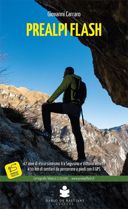
47 idee di escursioni a piedi nelle Prealpi Trevigiane, da Segusino a Vittorio Veneto passando per le piccole montagne del Conegliano – Valdobbiadene Patrimonio UNESCO.

Una guida che spazia dalle semplici passeggiate adatte a tutti, agli impegnativi itinerari sulle vette maggiori della dorsale rivolti agli escursionisti più allenati. 430 km di percorsi, noti e meno noti, con particolare attenzione alla riapertura di storici sentieri.

Descrizione sull’altimetria, difficoltà, distanza, georeferenziazione, oltre a foto di dettaglio e approfondimenti storici e culturali in uno degli scenari più belli del Veneto. Gli itinerari sono tutti corredati di mappe Tabacco e i tracciati GPS, costituiti da 47 percorsi base più 10 varianti, sono disponibili nel sito.

add to wish list
€ 13.30
instead of € 14.00
quantity
- 1 +
ship to :: Italia
Corriere espresso € 6.00
availability
usually shipped within 10/20 days
add to cart