en
wishlist
login
mail

contact us

Cartography

Hiking maps, maps and atlases, cartography around the world. Maps of the trails, cartography for cyclotourism and mountain biking

Mountain

Alpine guides, hiking guides, technical manuals for summer and winter mountaineering. Mountain literature and filmography

Sea

Nautical manuals, nautical cartography, books and literature for sailboat and motor

Travels

Travel guides and travel literature for Italy, Europe and the rest of the world

Military

Collection of the best publications (books and DVDs) on the mountain war on the Alps and the rest of Italy and Europe
back
Inflatable globe / Balance ball 3D cartography
Craenen | Olanda | 09/2014 | Ø 75 cm

Inflatable globe / Balance ball 3D cartography

+ Wood support

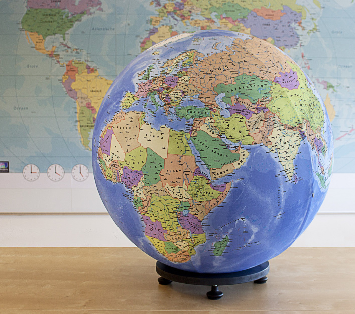
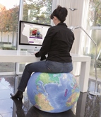
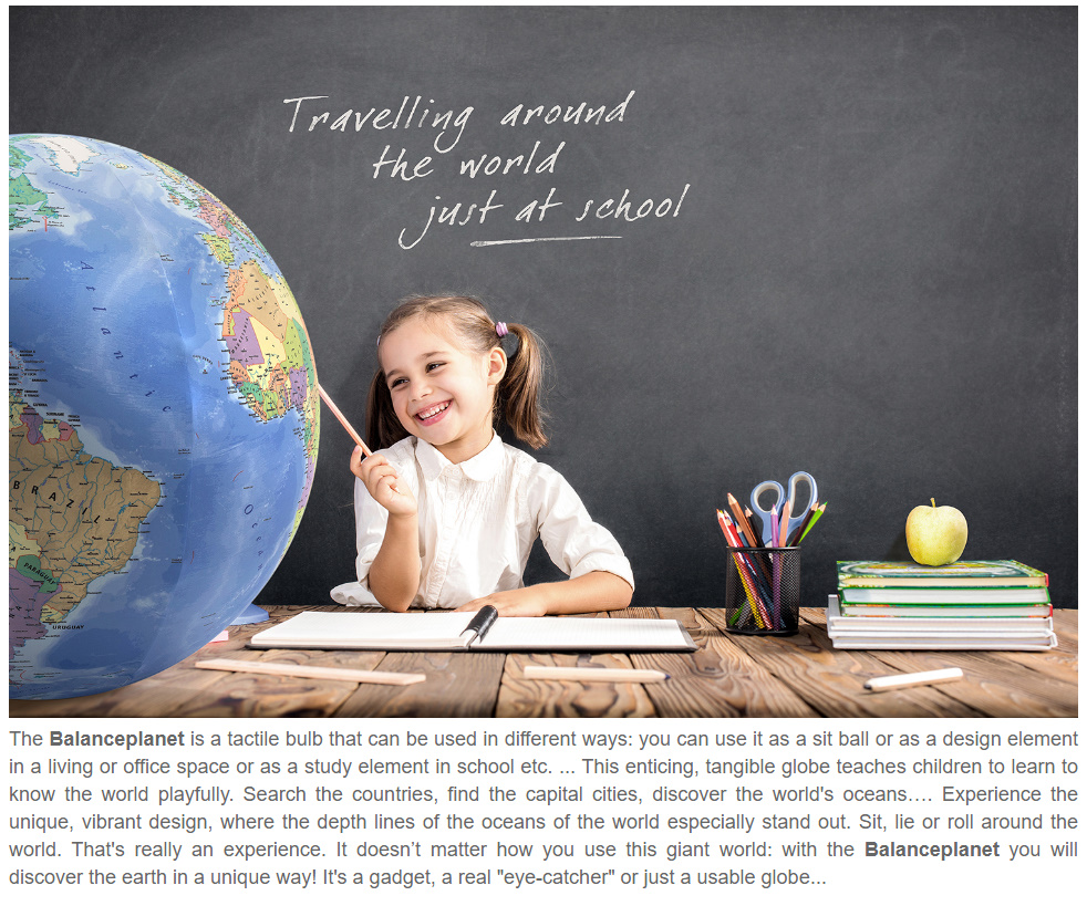
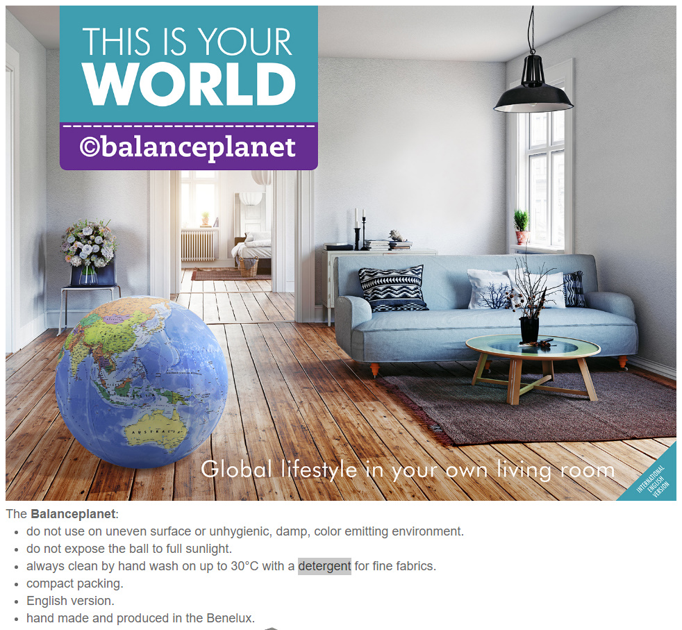
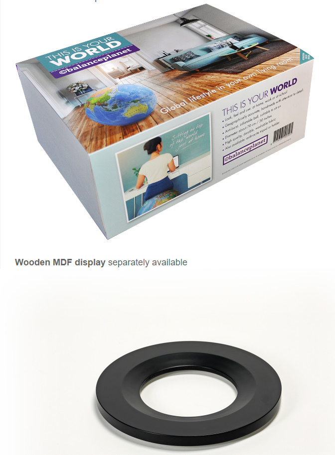
The Balanceplanet is a handmade, tactile 3D globe with a maximum diameter of 75 cm (30 inch.). The outside material is a stretchy fabric showing a detailed and colorful geography of the world. The printed fabric is a durable, washable, elastic material, which perfectly fits as a detachable sleeve. The inside houses a high quality inflatable balance-ball.

This gadget you can use a sit ball or as a design element in a living or office space or as a study element in school etc. ... This enticing, tangible globe teaches children to learn to know the world playfully. 

add to wish list
€ 165.00
quantity
- 1 +
ship to :: Italia
Corriere espresso € 6.00
availability
usually shipped within 15/30 days
add to cart