


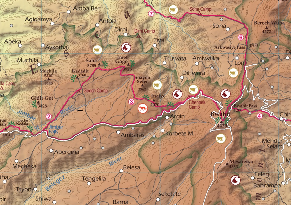
Trekking map with contour lines and hillshade, tracks, roads, campsites, viewpoints, settlements, wildlife spotting spots.
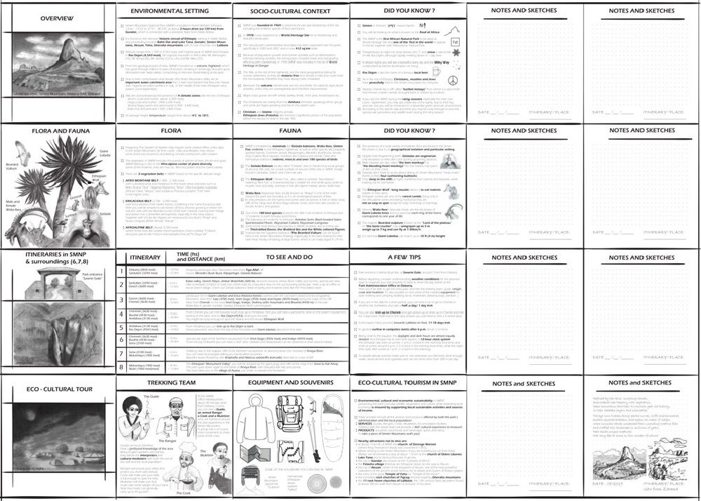
Illustrated miniguide on the back.
Dotted cells to take notes or draw sketches.
Information and anecdotes on landscape, flora, fauna, history and culture. Tips and curiosities.
8 itineraries proposed and sightseeing spots including Mount Ras Dejen and Jimbar Falls.
GPS compatible
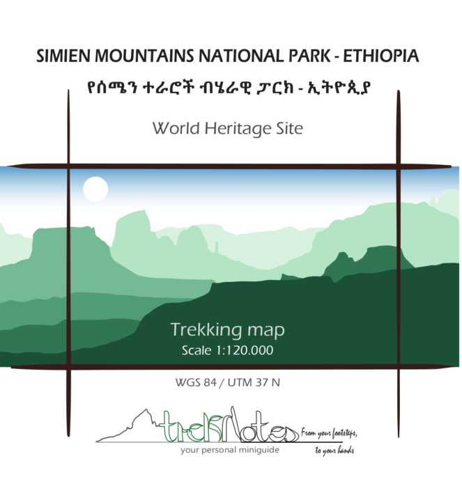
Language: English