


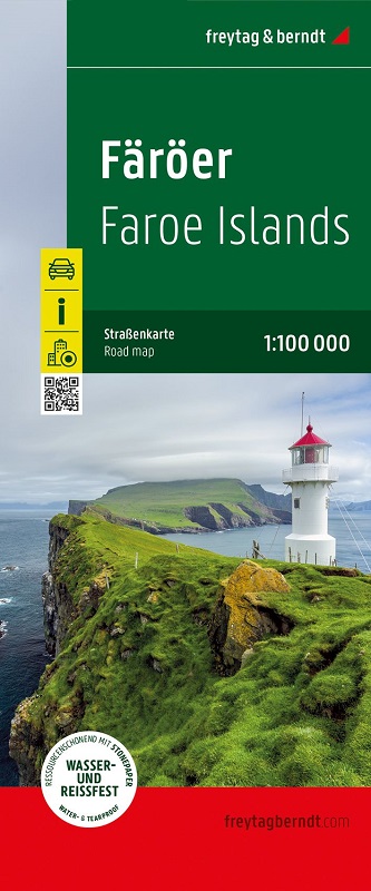
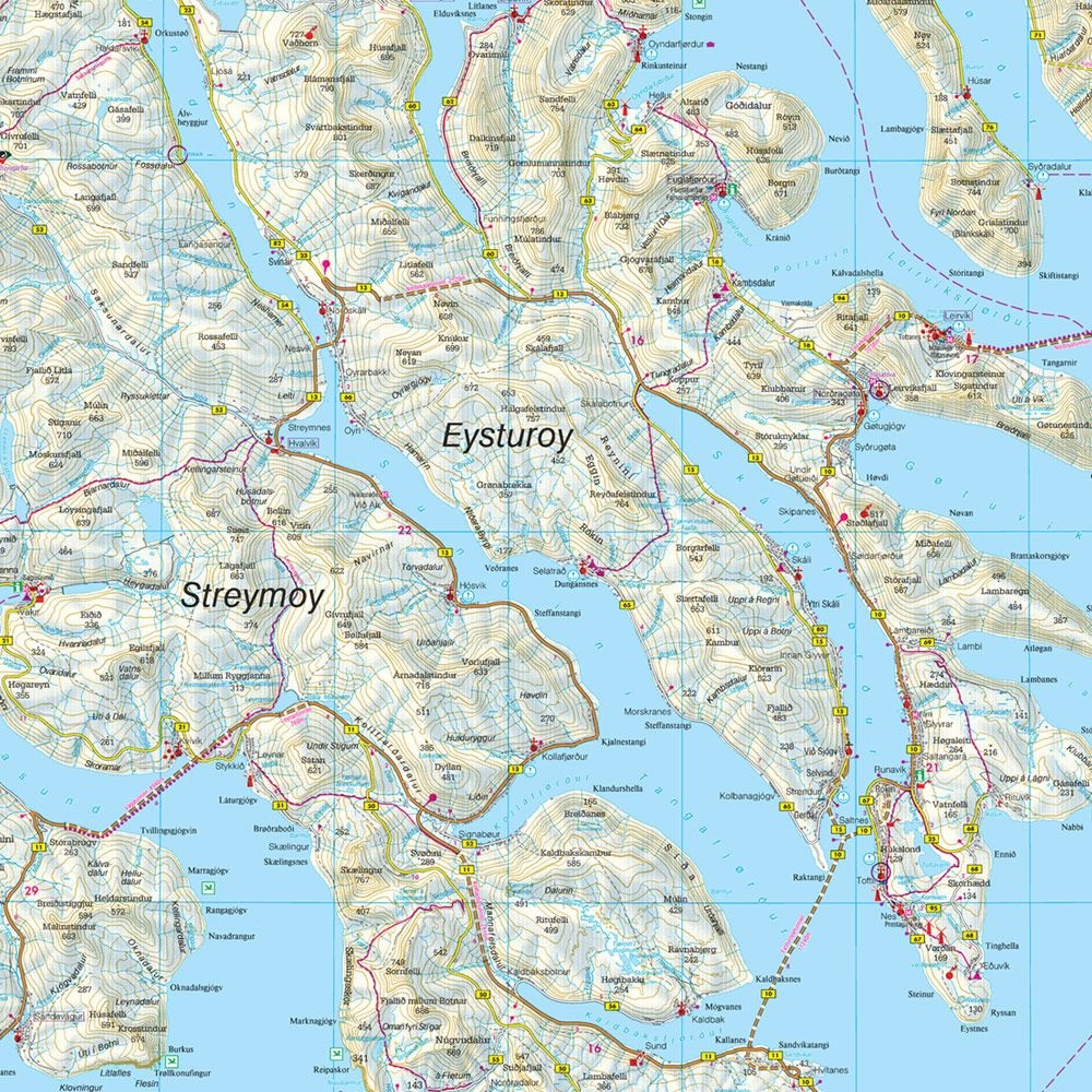
Die Straßenkarte Färöer - Føroyar im Maßstab 1:100.000 enthält zahlreiche nützliche Informationen für eine Reise auf die nördliche Inselgruppe. Das Straßennetz ist natürlich sehr detailliert abgebildet und viele besonders sehenswerte Ausflugsziele sind in der Karte eingezeichnet.
Auto-, Motorrad-, und auch Radfahrer schätzen die exakte Kartographie von freytag & berndt besonders für die Planung Ihrer Touren und die Orientierung vor Ort.
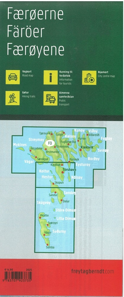
Sehenswerte Ausflugsziele sind mehrsprachig beschrieben.
Informationen zur Straßenkarte Färöer - Føroyar
Maßstab 1:100.000
Campingplätze
Wanderwege und Höhenlinien
Vogelbrutplätze
Fähren
Cityplan Tórshavn (dänisch Thorshavn)
Ortsregister
Wasserfest und reißfest
Format: 84 x 121 cm
Wasserfest und reißfest
Damit die Straßenkarte Färöer auch an regnerischen Tagen zur Orientierung herangezogen werden kann, ist sie auf einem speziellen wasserfesten und widerstandsfähigen Papier gedruckt.
Lingua principale: danese