


contact us
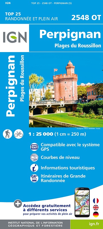
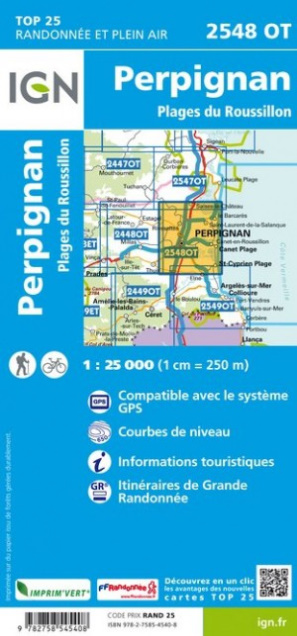
L'indispensable carte de randonnée IGN 2548OT. D'une très grande précision elle contient tous les détails existants sur le terrain : voies de communication jusqu'au moindre sentier, constructions jusqu'au hangar, bois, arbre isolé, rivière, source... Sans oublier la représentation du relief par des courbes de niveau. Les sentiers balisés et les informations touristiques sont également représentées.
Communes couvertes : Perpignan, Plages du Roussillon, La Palme, Port-la-Nouvelle, Feuilla, Villeneuve-les-Corbières, Salses-le-Château, Vingrau, Opoul-Périllos, Fraissé-des-Corbières, Saint-Jean-de-Barrou, Embres-et-Castelmaure, Fitou, Roquefort-des-Corbières, Durban-Corbières, Villesèque
Lieux à découvrir : La Narbonnaise en Méditerranée,Étang de Leucate ou de Salses,Estrons de la Vieille, Montoulié de Périllou, Cap Leucate,Musée de la Préhistoire, le Lydia, Chapelle St-Aubin, Fort de Salses, Caune de l'Arago, Château de Durban, Aqualand Port Leucate, Jardin botanique de Foncaude, Château de Leucate