


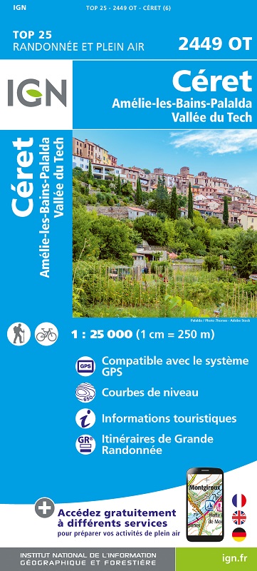
L'indispensable carte de randonnée IGN 2449OT. D'une très grande précision elle contient tous les détails existants sur le terrain : voies de communication jusqu'au moindre sentier, constructions jusqu'au hangar, bois, arbre isolé, rivière, source... Sans oublier la représentation du relief par des courbes de niveau. Les sentiers balisés et les informations touristiques sont également représentés.
Communes couvertes : Céret, Amélie les Bains, Vallée du Tech, Passa, Fourques, Montauriol, Oms, Montferrer, Llauro, Boule-d'Amont, Prunet-et-Belpuig, Saint-Jean-Pla-de-Corts, Arles-sur-Tech, Céret, Tresserre, Calmeilles, Reynès, Taulis, Montbolo, Coustouges, Taillet, Saint-Marsal, Saint-Laurent-de-Cerdans, Vivès
Lieux à découvrir : Embalse de la Buadella,Forêt Domaniale du Haut Vallespir,Vallée du Riuferrer, Gorges de la Fou, Col Fourtou, Pico del Portell, P. Calmeille, Puig de Prunès, P. del Caso, Pico Falco, Mont Capell, Roc de France, Castell de Bach Grillera, Puig del Tourn, Vallée du Riuferrer,Vieux Pont du Diable, St-Michel de Riunoguès, la Trinité, Stèle des Évadés, Fort les Bains