


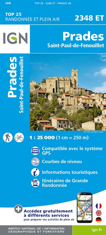
L'indispensable carte de randonnée IGN 2348ET. D'une très grande précision elle contient tous les détails existants sur le terrain : voies de communication jusqu'au moindre sentier, constructions jusqu'au hangar, bois, arbre isolé, rivière, source... Sans oublier la représentation du relief par des courbes de niveau. Les sentiers balisés et les informations touristiques sont également représentées.
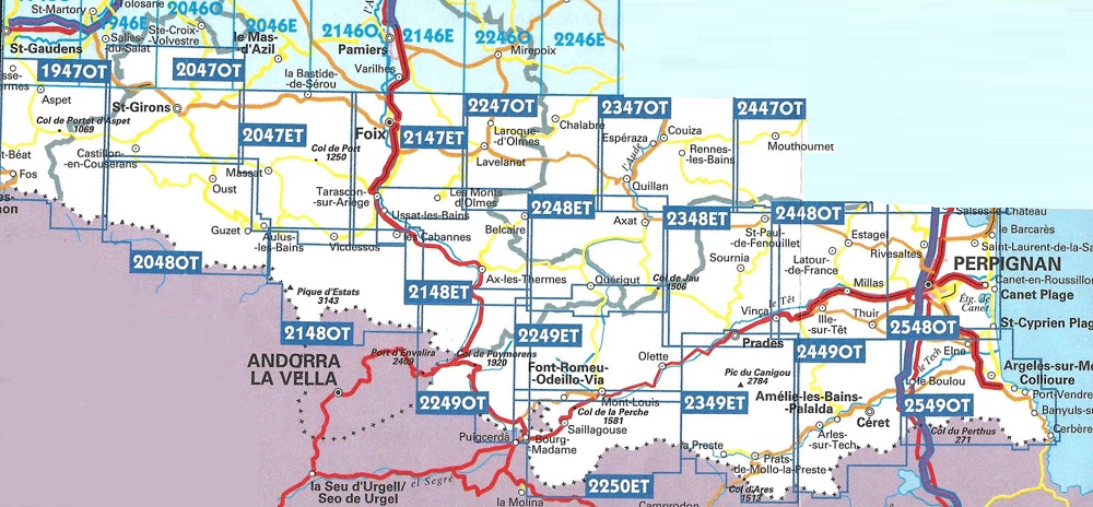
Communes couvertes : Campôme, Vinça, Saint-Martin-de-Fenouillet, Ansignan, Espira-de-Conflent, Caudiès-de-Fenouill, Prades, Saint-Paul-de-Fouillet.
Lieux à découvrir : Parc naturel régional Pyrénées catalanes,Forêt Domaniale d'en Malo-Bac Estable, Forêt Domaniale de Boucheville,Pic Dourmidou, Gorges de St-Jaume, Col d'Aussieres, Pic del Rossell, Roc del Cucut,Réserve Naturelle de Conat, Réserve Naturelle de Jujols, Fort Libéria, Réserve Naturelle de Nohèdes, St-Michel de Cuxa, Notre-Dame de Laval, Clue de la Fou, St-Vincent.