


contact us

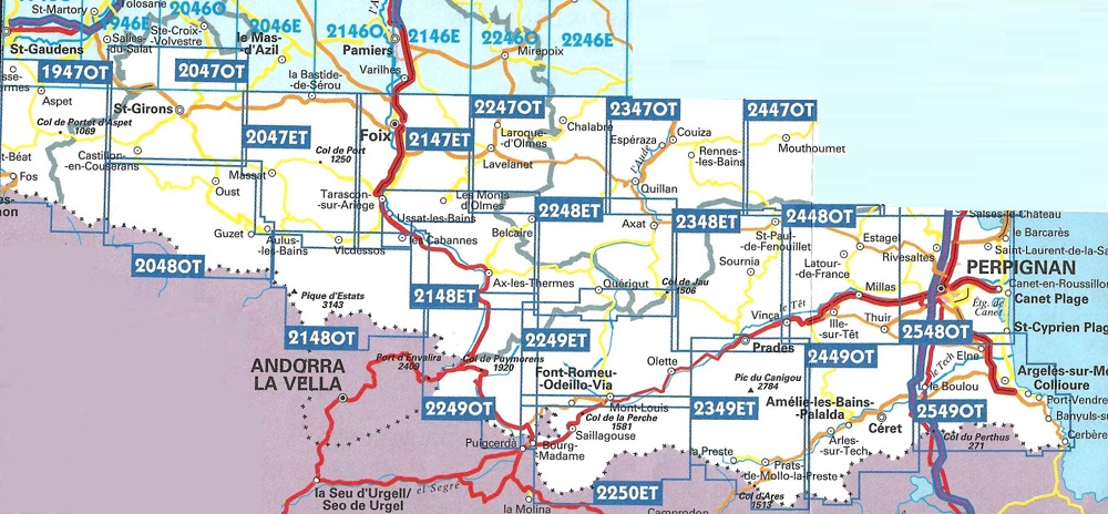
L'indispensable carte de randonnée IGN 2247OT. D'une très grande précision elle contient tous les détails existants sur le terrain : voies de communication jusqu'au moindre sentier, constructions jusqu'au hangar, bois, arbre isolé, rivière, source... Sans oublier la représentation du relief par des courbes de niveau. Les sentiers balisés et les informations touristiques sont également représentés.
Communes couvertes : Montbel, Péreille, Villeneuve-d'Olmes, Rivel, Fougax-et-Barrineuf, Nébias, Coudons, Joucou, Comus, Espezel, Belvis, Belfort-sur-Rebenty, Montségur, Roquefeuil, Belcaire, Saint-Benoît, Chalabre, Puivert, Saint-Couat-du-Razès, Sonnac-sur-l'Hers, Lavelanet, Montjardin
Lieux à découvrir : Forêt de Bélesta, Forêt Domaniale de Coume Frède-Picaussel, Pic du Minier, Gorges de la Frau, Plateau de Sault, Source de Fontestorbes, Notre-Dame du Val d'Amour, Pas de l'Ours, Barrage de Montbel, Fontaine de l'Esqueille