


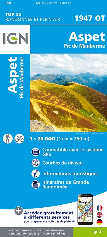
L'indispensable carte de randonnée IGN 1947OT. D'une très grande précision elle contient tous les détails existants sur le terrain : voies de communication jusqu'au moindre sentier, constructions jusqu'au hangar, bois, arbre isolé, rivière, source... Sans oublier la représentation du relief par des courbes de niveau. Les sentiers balisés et les informations touristiques sont également représentés.
Communes couvertes : Arlos, Fos, Payssous, Sengouagnet, Argut-Dessous, Izaut-de-l'Hôtel, Juzet-d'Izaut, Ganties, Soueich, Moncaup, Herran, Razecueillé, Estadens, Rouède, Bezins-Garraux, Encausse-les-Thermes, Malvezie, Montastruc-de-Salies, Boutx, Milhas, Arguenos, Chein-Dessus, Aspet
Lieux à découvrir : Parc naturel régional Pyrénées ariégeoises, Forêt Domaniale du Biros, Forêt Domaniale de St-Lary, Forêt Domaniale de Bellongue-Sud, Forêt Domaniale de Bellongue Nord, Pic de Maubermé, Col de Menté, Col des Ares, Col des Cassaings, Col de Portet d'Aspet, Montlude, Pic de Crabère, Monte Umbre, Pic de la Calabasse, Vallée du Biros, Cap de Gauch, la Bellongue, Serra de Guarches, Gouffre de la Henne-Morte, Refuge Jacques Husson, Sauth deth Pish