


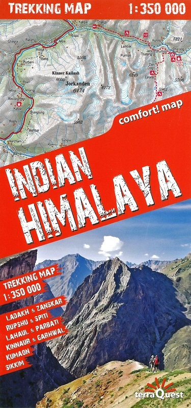
Indian Himalaya on a laminated and waterproof map from terraQuest, providing both an overview map of the region including Sikkim at 1:750,000 and separate panels at 1:350,000 covering 22 recommended hiking routes.
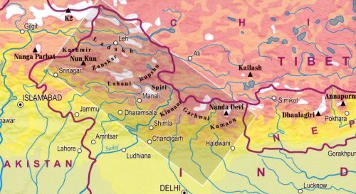
On one side is the overview map at 1:750,000 presented in two panels: the whole of the north-western area between the borders with Pakistan and Nepal, plus the north-eastern section in Sikkim. The map has very effective relief shading with contour lines at 100m intervals and colouring showing different types of vegetation. Numerous peaks and passes are named and locations of particular interest are highlighted. Road network includes local tracks and railway lines are marked. An overprint highlights 22 recommended hiking routes, indicating start and finish of each trail. Also marked are hotels, campsites, tea huts, temples and monasteries, etc. Latitude and longitude grid is at 10’ intervals.
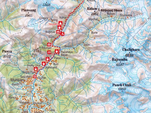
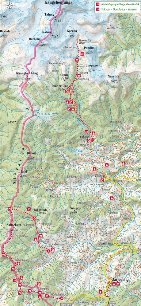
On the reverse the 22 recommended hiking trails are overprinted on more detailed contoured mapping at 1:350,000, with more information on the facilities and places of interests along each route.
Map legend includes English.