


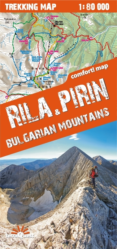
Excellent and comfortable to use here is the map of the mountains, the highest and most interesting, Rila & Pirin, in the south-west of Bulgaria.
The map was created especially for active people who go trekking in this region. Like all terraQuest maps, it boasts an ultra-convenient and unalterable folding and is covered with a laminate that allows it to be used in the most difficult weather conditions that prevail on the trails. Legend in six languages: English, German, French, Spanish, Italian and Polish. The map is characterized by: - rich tourist content, traces of hiking trails, natural attractions, accommodation facilities, - artistic shading showing the terrain, - GPS compliance - geographical coordinates in the WGS-84 system.