en
wishlist
login
mail

contact us

Cartography

Hiking maps, maps and atlases, cartography around the world. Maps of the trails, cartography for cyclotourism and mountain biking

Mountain

Alpine guides, hiking guides, technical manuals for summer and winter mountaineering. Mountain literature and filmography

Sea

Nautical manuals, nautical cartography, books and literature for sailboat and motor

Travels

Travel guides and travel literature for Italy, Europe and the rest of the world

Military

Collection of the best publications (books and DVDs) on the mountain war on the Alps and the rest of Italy and Europe
back
3446ET Le Lavandou / PN de Port-Cros / Corniche des Maures

3446ET Le Lavandou / PN de Port-Cros / Corniche des Maures

GPS compatibile

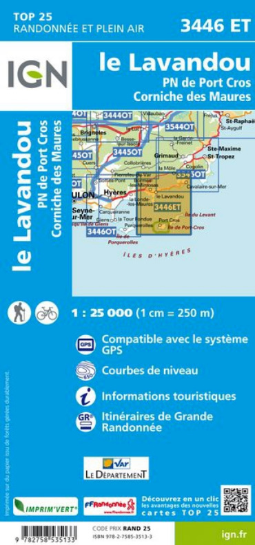
L'indispensable carte de randonnée IGN 3446ET. D'une très grande précision elle contient tous les détails existants sur le terrain : voies de communication jusqu'au moindre sentier, construction de hangars, bois, arbre isolé, rivière, source... Sans oublier la représentation du relief par des courbes de niveau. Les sentiers balisés et les informations touristiques sont également représentées.

Communes couvertes : Rayol-Canadel-sur-Mer, Le Lavandou

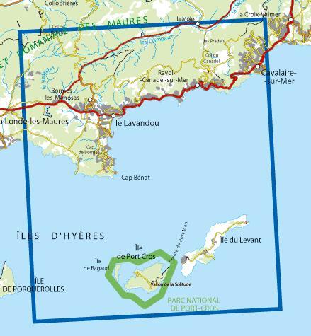
Lieux à découvrir : Fprêt domaniale des maures, Île de Bagaud, Île de Port-Cros, Vallon de la Solitude, les Pradels, Cap Bénat, Col du Canadel, Col de Babaou, Cap de Bormes, Île du Levant, Îles d'hyeres, Massif des Maures, Pointe de Port Man

add to wish list
€ 15.50
quantity
- 1 +
ship to :: Italia
Corriere espresso € 6.00
availability
usually shipped within 15/30 days
add to cart