


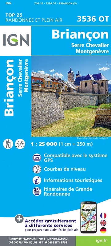
L'indispensable carte de randonnée IGN 3536OT. D'une très grande précision elle contient tous les détails existants sur le terrain : voies de communication jusqu'au moindre sentier, constructions jusqu'au hangar, bois, arbre isolé, rivière, source... Sans oublier la représentation du relief par des courbes de niveau. Les sentiers balisés et les informations touristiques sont également représentées.
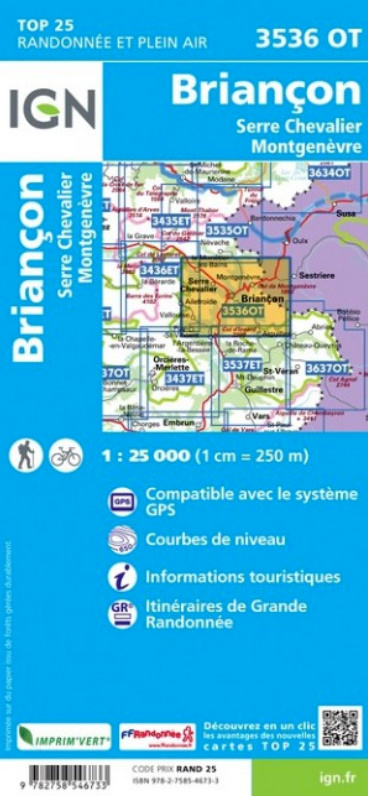
Communes couvertes : Montgenèvre, La Salle-les-Alpes, Saint-Chaffrey, Puy-Saint-Vincent, Val-des-Prés, Puy-Saint-Pierre, Cervières, Les Vigneaux, Villar-Saint-Pancrace, Saint-Martin-de-Queyrières, Puy-Saint-André
Lieux à découvrir : Massif du Queyras, Colle de Bercia, la Casse Déserte, Roche Gauthier, Cima del Bosca, Pic des Beaudouis, Turge de la Suffie, Pic de Peyre Eyraute, Col d'Izoard, C. de Montgenèvre, Pic de Rochebrune, Tête Noire, Cima Dorlier, Monte Giaissez, Monte Fraiteve, Col de Granon