


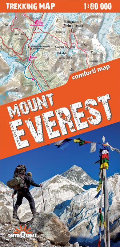
Trekking map to a scale of 1:80.000
A two-sided laminated, convenient to use map of the Mount Everest massif region in the Nepalese Himalayas, created especially for trekking in Nepal.
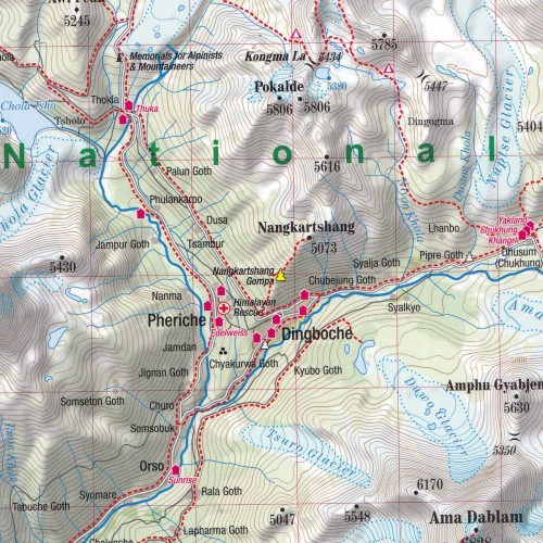
This map includes the following:
- wide range - from Lukla in the south, to Gokyo lake in the west, Island Peak in the east and the border with Tibet in the north
- rich tourist content, including trekking routes, tourist infrastructure, natural attractions and other interesting objects
- plastic shading showing the terrain
- GPS compliance - geographical coordinates in the WGS-84 system