


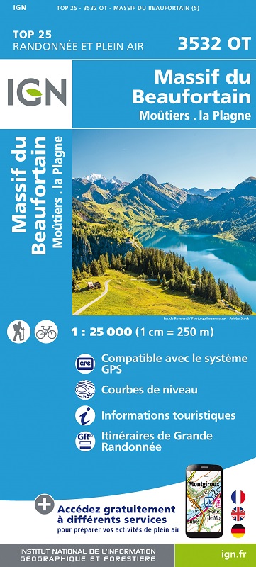
L'indispensable carte de randonnée IGN 3532OT. D'une très grande précision elle contient tous les détails existants sur le terrain : voies de communication jusqu'au moindre sentier, constructions jusqu'au hangar, bois, arbre isolé, rivière, source... Sans oublier la représentation du relief par des courbes de niveau. Les sentiers balisés et les informations touristiques sont également représentées.
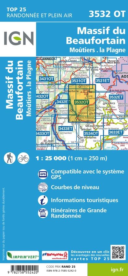
Communes couvertes : La Léchère, Grand-Aigueblanche, Montagny, Les Chapelles, Tours-en-Savoie, La Bâthie, Beaufort, Aime-la-Plagne, Notre-Dame-du-Pré, Bozel, La Plagne Tarentaise, Feissons-sur-Salins, Les Avanchers-Valmorel, Saint-Marcel, Salins-Fontaine, Moûtiers
Lieux à découvrir : Lac de Roselend, Lac de St-Guérin, Lac de la Gittaz,Bois de la Motte,la Pierra Menta, Cormet d'Arêches, Défilé d'Entreroches, le Grand Mont, Col du Pré, Mont Jovet, Pointe de Comborsier, Mont Mirantin, Cormet de Roselend, Vallée de la Grande Maison, Étroit de Saix, le Roignais, Pointe de la Terrasse, Aiguille du Gra