en
wishlist
login
mail

contact us

Cartography

Hiking maps, maps and atlases, cartography around the world. Maps of the trails, cartography for cyclotourism and mountain biking

Mountain

Alpine guides, hiking guides, technical manuals for summer and winter mountaineering. Mountain literature and filmography

Sea

Nautical manuals, nautical cartography, books and literature for sailboat and motor

Travels

Travel guides and travel literature for Italy, Europe and the rest of the world

Military

Collection of the best publications (books and DVDs) on the mountain war on the Alps and the rest of Italy and Europe
advanced search ricerca avanzata
back
-5%
04 Conca di Aosta, Mont Emilius, Mont Fallère
L'escursionista | Cartografia Alpi | Rimini | 2018 | impermeabile, antistrappo | 11 x 16 | 1:25.000

04 Conca di Aosta, Mont Emilius, Mont Fallère

Con reticolo U.T.M.

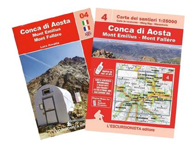
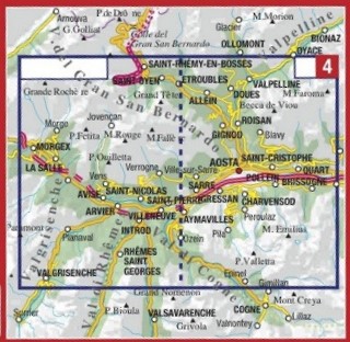
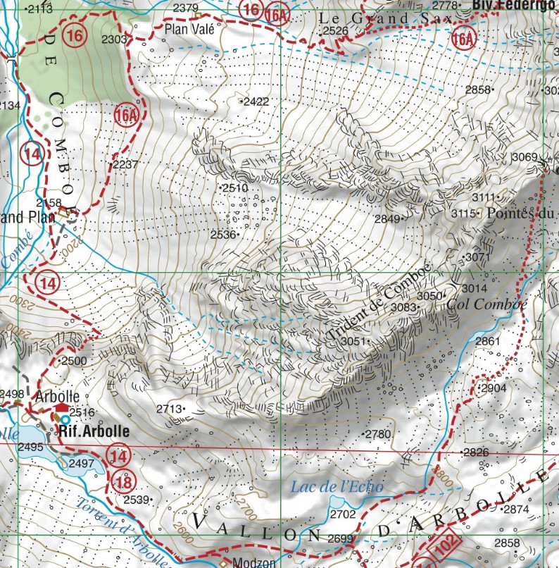
Carta dei sentieri dei dintorni di Aosta, Pila, Mont Emilius e Mont Fallère, stampata fronte e retro con reticolo chilometrico WGS 84. Sentieri rilevati sul territorio con apparecchiatura satellitare GPS. Stampata su supporto antistrappo e impermeabile.

Guida di 64 pagine con all'interno 3 trekking di più giorni (Attorni al Mont Emilius, Tour du Mont Fallére, Tour dei castelli da Aosta ad Avise) ed elenco dei sentieri con segnavia e tempi di percorrenza.


index
add to wish list
€ 9.50
instead of € 10.00
quantity
- 1 +
ship to :: Italia
Corriere espresso € 5.50
availability
available
add to cart