en
wishlist
login
mail

contact us

Cartography

Hiking maps, maps and atlases, cartography around the world. Maps of the trails, cartography for cyclotourism and mountain biking

Mountain

Alpine guides, hiking guides, technical manuals for summer and winter mountaineering. Mountain literature and filmography

Sea

Nautical manuals, nautical cartography, books and literature for sailboat and motor

Travels

Travel guides and travel literature for Italy, Europe and the rest of the world

Military

Collection of the best publications (books and DVDs) on the mountain war on the Alps and the rest of Italy and Europe
back
Macizo de Monte Perdido, Valle de Odesa, Pineta
Editorial Alpina | Spagna | 2025 | impermeabile, antistrappo | 68 x 98 | 1:15.000

Macizo de Monte Perdido, Valle de Odesa, Pineta

1:15.000

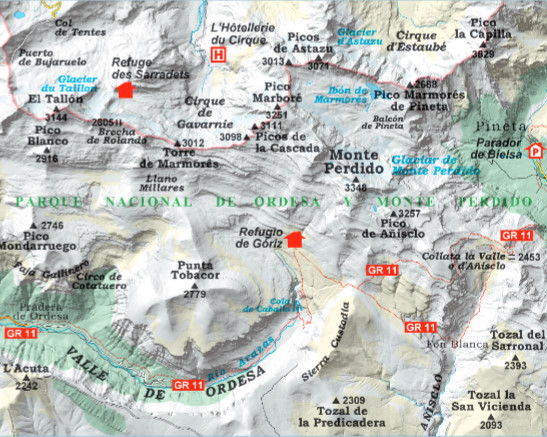
La carte à une échelle plus détaillée (1:15 000) du
massif du Mont-Perdu et de ses environs
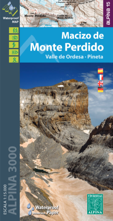
Secteur de la carte : Pyrénées aragonaises. Vallée d’Ordesa, massif
du Mont-Perdu. Parc national d’Ordesa et du Mont-Perdu (région
de Sobrarbe)
Caractéristiques : Carte topographique à l’échelle 1:15 000, avec
des informations d’intérêt: sentiers balisés (GR), sentiers, refuges,
cascades, etc.

Langues: castillan,anglais,français et allemand


The more detailed scale map (1:15,000) of the
Monte Perdido massif and its surroundings.
Area of the map: Aragonese Pyrenees. Ordesa Valley and the
Monte Perdido massif. Ordesa and Monte Perdido National Park
(Ribagorza region)
Map features: Topographic map at a scale of 1: 15,000, with
information of interest: marked trails (GR, PR), trails, refuges,
waterfalls, etc.

Languages: Spanish, French, English and German


add to wish list
€ 17.00
quantity
- 1 +
ship to :: Italia
Corriere espresso € 6.00
availability
coming soon
notify when available