en
wishlist
login
mail

contact us

Cartography

Hiking maps, maps and atlases, cartography around the world. Maps of the trails, cartography for cyclotourism and mountain biking

Mountain

Alpine guides, hiking guides, technical manuals for summer and winter mountaineering. Mountain literature and filmography

Sea

Nautical manuals, nautical cartography, books and literature for sailboat and motor

Travels

Travel guides and travel literature for Italy, Europe and the rest of the world

Military

Collection of the best publications (books and DVDs) on the mountain war on the Alps and the rest of Italy and Europe
advanced search ricerca avanzata
back
-5%
04 Carta escursionistica della provincia di Firenze: Chianti Fiorentino e Val di Pesa
DREAM Italia | Pistoia | 6/2020 | 1:25.000

04 Carta escursionistica della provincia di Firenze: Chianti Fiorentino e Val di Pesa

Bagno a Ripoli, San Casciano Val di Pesa, Impruneta, Greve in Chianti, Tavarnelle Val di Pesa, Barberino Val d'Elsa, Rignano sull'Arno, Incisa Val d'Arno, Figline Valdarno

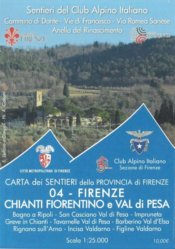
La Carta è realizzata dal CAI di Firenze in collaborazione con D.R.E.Am Italia

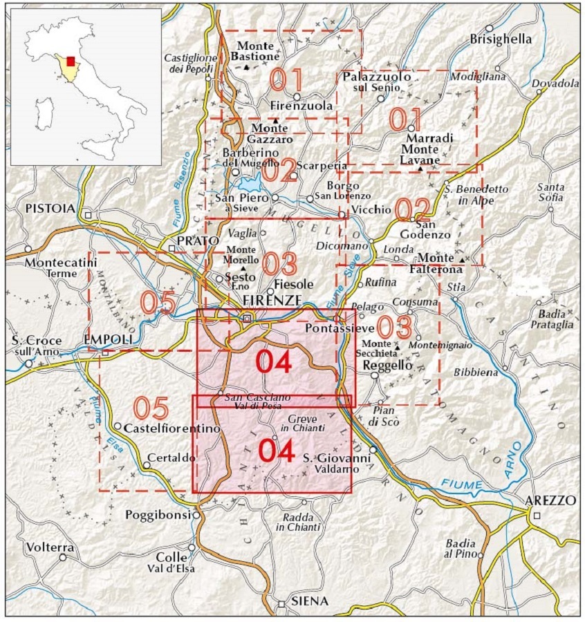
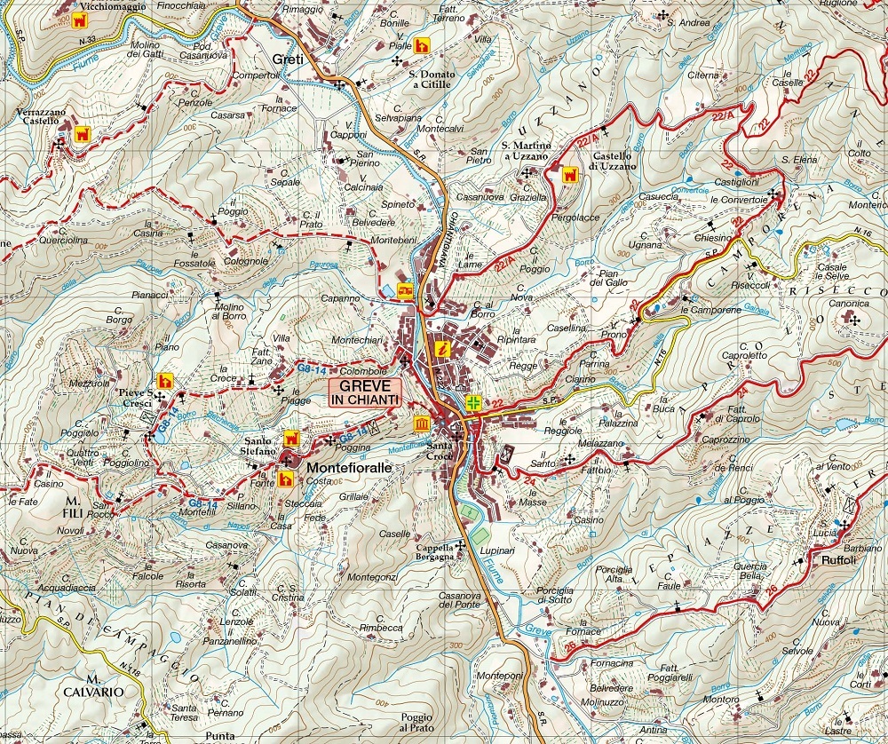
La Carta riporta tutta le rete dei Sentieri del Club Alpino Italiano, l'Anello del Rinascimento, il Cammino di Dante e le Vie di Francesco oltre a moltissimi sentieri locali.


add to wish list
€ 9.50
instead of € 10.00
quantity
- 1 +
ship to :: Italia
Corriere espresso € 5.50
availability
usually shipped within 3/7 days