


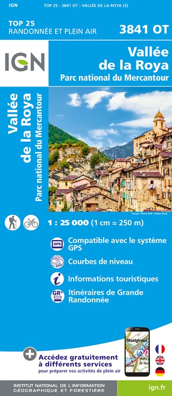
L'indispensable carte de randonnée IGN 3841OT. D'une très grande précision elle contient tous les détails existants sur le terrain : voies de communication jusqu'au moindre sentier, constructions jusqu'au hangar, bois, arbre isolé, rivière, source... Sans oublier la représentation du relief par des courbes de niveau. Les sentiers balisés et les informations touristiques sont également représentées.
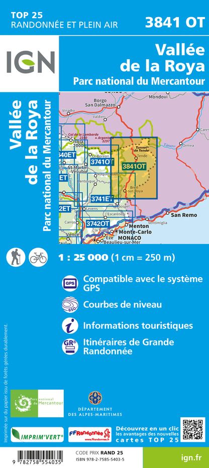
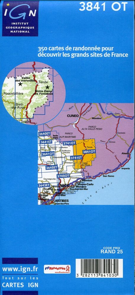
Communes couvertes : Moulinet, Tende, Breil-sur-Roya, Fontan, Saorge, La Brigue
Lieux à découvrir : Forêt de Caros, Bois Noir,Cima di Pertega, Monte Mera, Monte Alto, Monte Vetta, Carmo Binelli, Monte del Frisson, Monte Carbonè, Cima Plisser, Monte Colombo, Bec Matlas, Monte delle Carsene, Monte Garbella, Cima della Scandeiera, Col de Tende, Monte Gouta, l'Authion, Cima del Sa,Château de Crans, Abbaye de Bonmont, Château, Cabane du Carroz, Sapins de Borsattaz, Saut du Day, Grotte de Réclère, Cabane les Pralets, Cabane Rochefort, Signal de Roche d'Or, Cabane Trois Chalets, Chalet de la Dent de Vaution, Résurgence de l'Orbe