


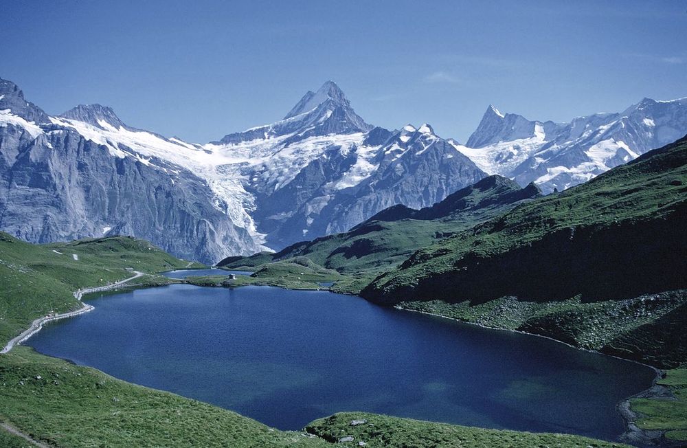
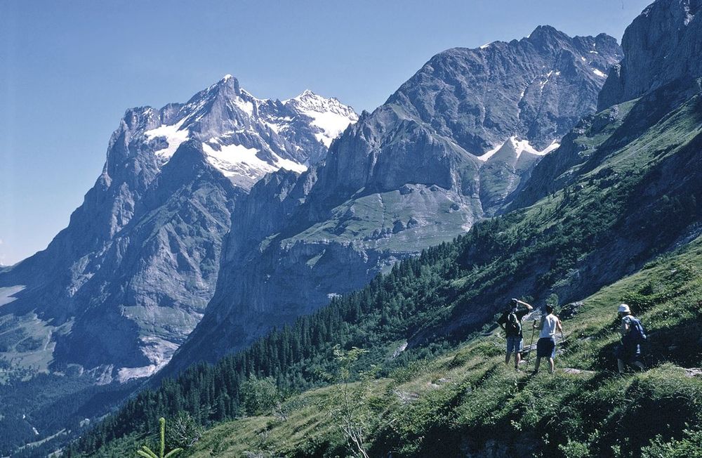
The Tour of the Jungfrau Region is described as a clockwise circuit of 111km beginning at Schynige Platte and ending at Wilderswil. It is broken into 10 stages (with alternatives offered), through the Bernese Oberland under the Mönch, Eiger and Jungfrau. With spectacular mountain views, glaciers, lakes and ridges, it is a classic walk.
Seasons
late June to end of September with all facilities open July to August, but trails busier and prices higher; September is recommended
Centres
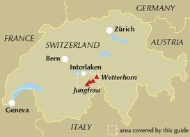
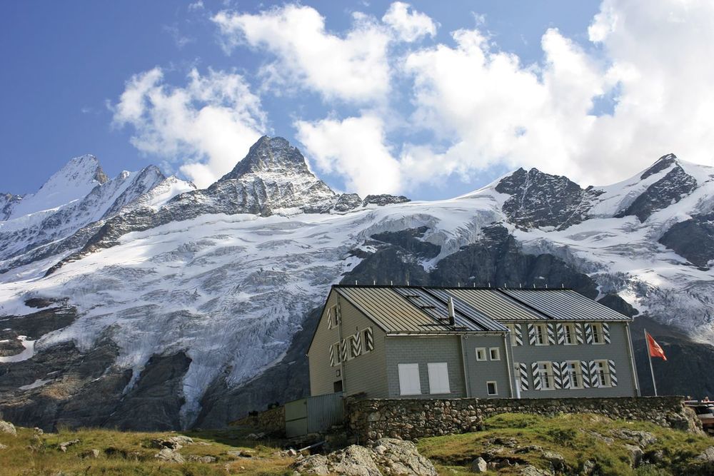
fly in to Geneva, Zürich or Basle - there are popular resorts at Interlaken, Grindelwald, Mürren, Lauterbrunnen and Wengen.
Difficulty
challenging mountain walking, but no technical skills needed, with several short exposed sections (most with fixed cable)
Must See
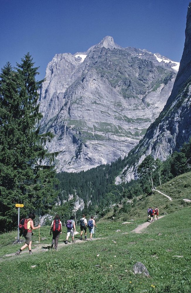
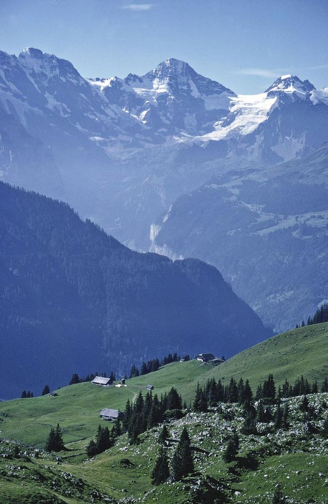
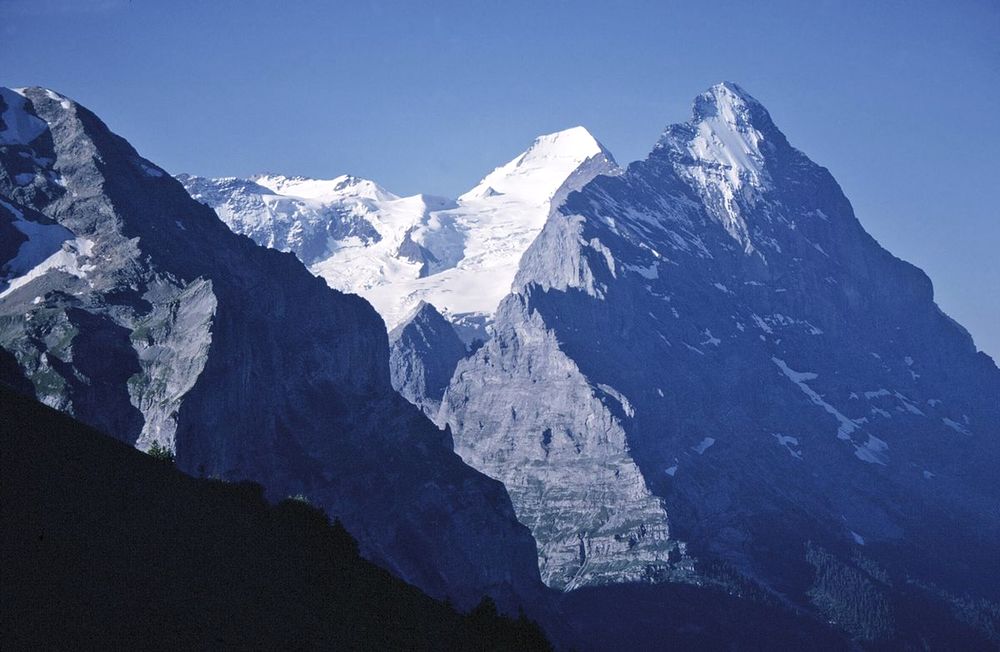
views of famous Alpine peaks such as: the Eiger, Mönch and Jungfrau; the Lauterbrunnen Valley; the Jungrau-Aletsch-Bietschhorn UNESCO World Natural Heritage Site; glaciers such as Eigergletscher and waterfalls such as the Trümmelbach Falls; also alpine flowers.
A guidebook to walking the Tour of the Jungfrau Region between Schynige Platte and Wilderswil. Covering 111km (69 miles), this long-distance trek through Switzerland’s Bernese Oberland takes around 10 days and is suitable for trekkers with some Alpine experience.
The route is described clockwise in 10 stages, each between 12 and 32km (7–22 miles) in length. A number of high- and low-level route alternatives are included allowing you to select the itinerary that suits you.
Sketch maps are included for each stage
Detailed information on accommodation, refreshments and facilities along the route
Advice on planning and preparation
Highlights include views of the Wetterhorn and Eiger