


contact us
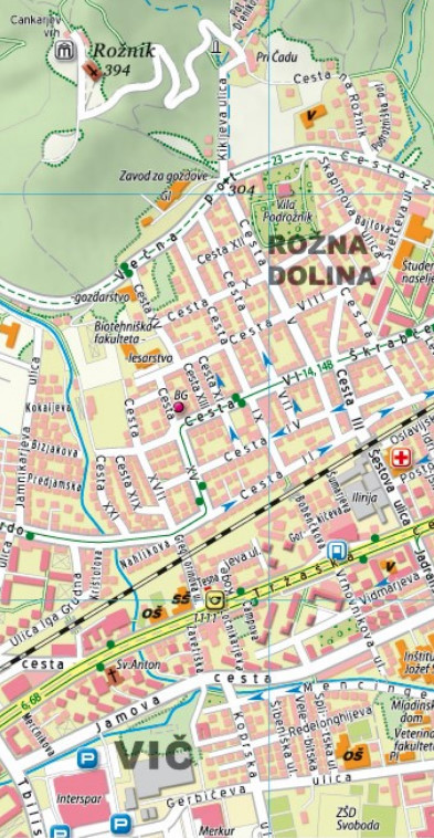
Ljubljana with its outer suburbs at 1:15,000 on an indexed street plan from the locally based Kartografija, with an enlargement at 1:8,000 showing the city centre in greater detail, plus a diagram of local bus routes.
The plan highlights main traffic arteries across the city and shows one way streets, car parks and locations of petrol stations. Bus routes are shown with stops and line numbers. The map indicates locations of various institutions, services and facilities.
Also provided is a more detailed enlargement of the city centre, plus a diagram of the bus routes.