en
wishlist
login
mail

contact us

Cartography

Hiking maps, maps and atlases, cartography around the world. Maps of the trails, cartography for cyclotourism and mountain biking

Mountain

Alpine guides, hiking guides, technical manuals for summer and winter mountaineering. Mountain literature and filmography

Sea

Nautical manuals, nautical cartography, books and literature for sailboat and motor

Travels

Travel guides and travel literature for Italy, Europe and the rest of the world

Military

Collection of the best publications (books and DVDs) on the mountain war on the Alps and the rest of Italy and Europe
back
Zante / Zacinto / Zakinthos
Freytag & Berndt | Carte stradali / atlanti | Austria | 13 x 25,5 | 1:50.000

Zante / Zacinto / Zakinthos

1:50.000

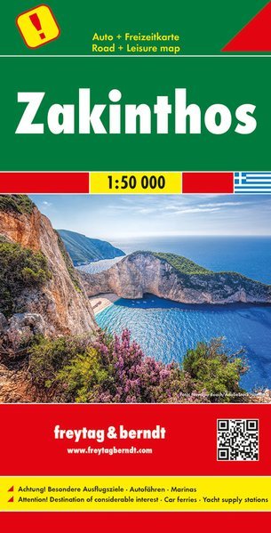
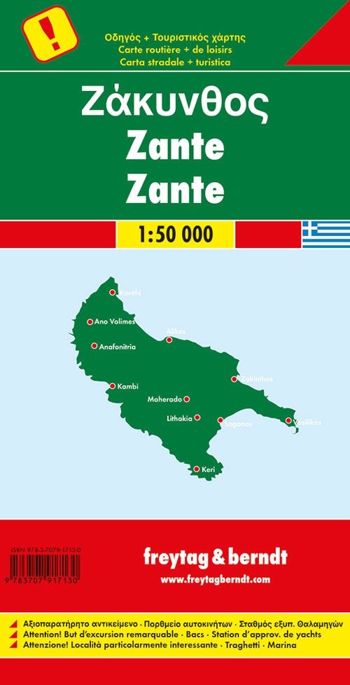
Oltre al design chiaro, la mappa stradale di Zante contiene molte informazioni aggiuntive come le condizioni stradali, le attrazioni e i campeggi. L'ampio registro delle posizioni consente inoltre un rapido orientamento. Le mete escursionistiche più importanti sono descritte sul retro della cartina. (Tedesco, inglese, francese, italiano e greco) Dettagli: Destinazioni speciali per escursioni, traghetti, porti turistici.

Sprache:Deutsch, Englisch, Französisch, Italienisch, Neugriechisch, Niederländisch, Slowakisch, Spanisch, Tschechisch, Ungarisch

add to wish list
€ 12.90
quantity
- 1 +
ship to :: Italia
Corriere espresso € 6.00
availability
available
add to cart